Interactive Map of Lofoten Islands | Guide to Lofoten

INTERACTIVE MAPs OF LOFOTEN

Save time and effortlessly plan your trip to the Lofoten Islands! Our interactive travel maps of Lofoten showcase must-visit attractions, hidden gems, and hiking trails, complete with maps and GPX files. 

We live in Lofoten, so we continuously update the maps with the latest information, ensuring you have the most accurate guide at your fingertips.

The best Interactive Map of the Lofoten Islands showing hiking trails, must-see places, hidden spots, ferry information, public restrooms, campsites and free camping spots and much more. Made by Lofoten locals.

Your pocket guide to Lofoten

number 1 icon

Do you want to save your time and energy on reading tons of travel articles and blogs?

number 2 icon

Do you want to have all the information about what to see and do in Lofoten in one place?

Number 3 icon

Do you want to avoid the crowds and discover hidden gems? Do you want to get to know Lofoten in depth?

ALL ABOUT LOFOTEN IN ONE PLACE

Our interactive maps of Lofoten are a set of more than 200 points of interest in the Lofoten islands entered into the Google Maps app. 

All POI are marked with icons and divided into layers according to categories: hiking trails, churches, and museums, recommended accommodation and campsites, practical information, activities, etc.

In addition, all places include a short description and links to official sources of information.

The best Interactive Map of the Lofoten Islands showing hiking trails, must-see places, hidden spots, ferry information, public restrooms, campsites and free camping spots and much more. Made by Lofoten locals.

HAMNØY SCENIC VIEWPOINT

View of rorbuer in the foreground with Reinebringen in the background

REINE SCENIC VIEWPOINT

View of the Reine village with Olstinden in the background.

KVALVIKA BEACH

Kvalvika Beach is surrounded by tall mountains and can only be reached on foot by an easy hike.

ELIASSEN RORBUER

Probably the most famous photo point in Lofoten with Hamnøy in the foreground.

MAP OF LOFOTEN IN NUMBERS

1
HIKING TRAILS
1
ACTIVITIES
1
restaurants
1
Practical points
Map of Lofoten_Mannen
Midnight sun at Uttakleiv Beach in Lofoten Norway
The summit of Volandstinden as seen from Fredvang

map of Lofoten FREE VERSION

To give you an idea of what the interactive map of Lofoten looks like, here is a little sneak peek that shows some of our favorite accommodations and activities in Lofoten.

Customers reviews

SAVED ME HOURS OF WORK
"I actually like the process of planning my holiday. On the other hand, I hate spending tens of hours in front of a computer screen just to find interesting places that are worth visiting. The information in travel guides is often outdated. That is why I like the idea of an interactive travel map. It contains everything I need and I would love to have it for more countries than just Norway."
Zuzana Hnátková
Czech republic
BETTER THAN LONELY PLANET
"You can stop googling right now. The map of Lofoten has everything - from interesting places to recommendations for hiking trails and adventurous activities. You can filter the layers according to your preferences or just explore one area on the map. I love that it is done in Google maps, so you get access to reviews, pictures, and links to official websites."
Luboš Hladký
Slovakia
ABSOLUTELY LOVE THIS MAP
"I absolutely love this map! This map has everything your outdoor-loving heart could desire! Waterfalls, hikes (ranked by difficulty), beaches… you name it! You can find travel guides to any city on this planet, but I have never seen as great a map for those who want to venture out into the wilderness as this one! If you are planning to explore Lofoten, this is the map for you! "
Izzy Lipold
Germany

Practical information

email icon

The map of Lofoten is created in Google Maps app. In order to use it, you will need a Gmail address.

computer icon

You will be able to use the map on a PC, tablet, or mobile phone. You just need to make sure that you are logged into the Gmail account you purchased the map with.

time icon

You will be granted access to the map within 3 working days. Please be patient, it is not an automatic procedure and we have to fill in your login data manually.

Lofoten interactive map my maps app by guide to Lofoten_2

The interactive map is a set of more than 200 points of interest in the Lofoten islands entered into the Google My Maps app. 

All POI are marked with icons and divided into layers according to categories: hiking trails, churches and museums, recommended accommodation and campsites, practical information, activities etc. 

In addition, all places include a short description and links to official sources of information. The map is a great help for planning a holiday to Lofoten for those who want to explore more than just the notoriously known tourist attractions.

What is included in the map

Reviews

"THE MAP SAVED ME HOURS OF WORK"
"I actually like the process of planning my holiday. On the other hand, I hate spending tens of hours in front of a computer screen just to find interesting places that are worth visiting. The information for travel guides is often outdated. That is why I like this idea of an interactive travel map. It contains everything I need and I would love to have it for more countries than just Norway."
Zuzana Hnátková
Czech Republic
"BETTER THAN LONELY PLANET"
"You can stop googling right now. This map has everything - from interesting places to recommendations for hiking trails and adventurous activities. You can filter the layers according to your preferences or just explore one area on the map. I love that it is done in Google maps, so you get access to reviews, pictures, and links to official websites."
Luboš Hladký
Norway

How much does the map cost?

Lifetime access to the interactive map of Lofoten costs 24.90 EUR. 

GMAIL CLIENT

The map is created in Google Maps app. In order to use it, you will need a Gmail address.

DEVICE

You will be able to use the map on a PC, tablet, or mobile phone. You just need to make sure that you are logged into the Gmail account you purchased the map with. For planning the trip I would recommend opening the map on a desktop PC.

ACCESS TO THE MAP

You will be granted access to the map within 3 working days. Please be patient, it is not an automatic procedure and we have to fill your login data manually.

The story behind the creation of interactive maps

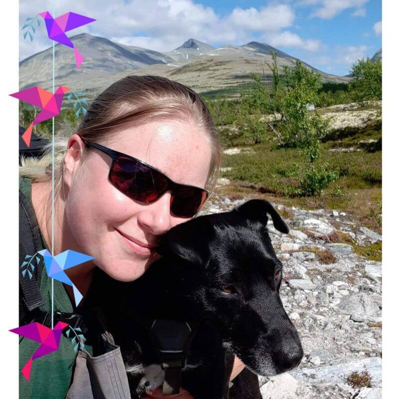
Hello, my name is Radka, and I moved to Norway in 2012 to do an exchange semester at the University of Trondheim. That decision has turned my life upside down. You see, I fell in love with Norway. First with nature, and lately with my Norwegian boyfriend, and it has been ten years since I call Norway my home.

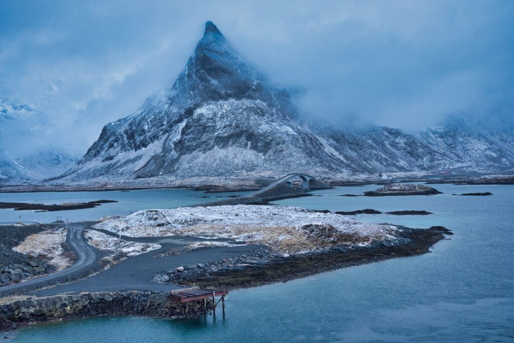
When I created this webpage, I had no plans to write about Norway. I thought it wasn’t exotic enough, and I falsely assumed that the tourists traveling to Norway are only interested in hiking Preikestolen and Trolltunga or visiting the Lofoten islands. At that time, we lived in Trondheim, and I hadn’t even been to Trolltunga since it was quite a long drive from there. So I thought that my mother was the only person interested in my weekend trips to the mountains around Trondheim.

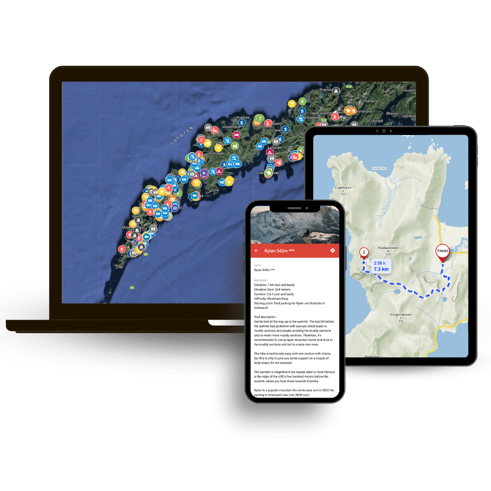
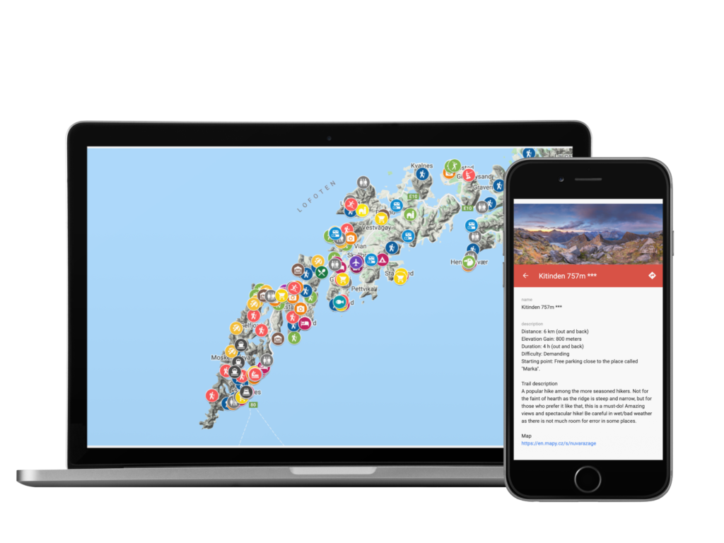
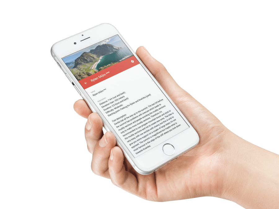
It turned out later that my mom didn’t read this blog. Instead, my articles (primarily written in Czech) found their way to people interested in traveling to Norway. As the community grew (for example, in my FB group Norway – Tips for Travelers), people asked me for my recommendations about hikes and exciting places. So I started offering tailor-made itineraries for trips to Norway and Iceland.

But the idea came to my mind that one day I would like to create a guidebook about traveling to Norway, where I would summarize my tips on well-known and lesser-known tourist attractions. So when we had to end our trip to South America prematurely in 2020 because of the pandemic and return to Norway, where we had neither housing nor work, I decided that it was time to implement the idea.

We spent spring, summer, and autumn 2020 traveling in southern and western Norway, and even though we have been touring Norway many times, we still came across new and exciting places that formed the basis of the map of western Norway. I made the map primarily for my boyfriend and me to map the possibilities of trips around my boyfriend’s cottage, where we settled after returning to Norway from the quarantine in Argentina. But the family and friends to whom we showed the map were very excited to have it too, so we decided that it would be a shame to keep it to ourselves.

In the summer of 2021, Ivar and I were allowed to run accommodation in the west of Lofoten, which seemed like a dream come true. Every morning, when we woke up overlooking the harbor and the impressive Volandstinden mountain, we were falling more and more in love with the Lofoten countryside. Unfortunately, we didn’t have much free time, but we still tried to use every free minute to explore the surroundings, and our six-month stay in Lofoten laid the foundation for this map.

Our sincere wish is that this map will be a big part of your travel planning for your next Lofoten trip and that you will have use for it every day while exploring the Lofoten islands by car, foot, or bike! We wish you the best of luck and fun and safe adventures on your journey, and maybe we will see you up there! 

 
Reinebringen hike Lofoten Islands by Martin Kulhavy