WEATHER FORECAST APPS FOR TRAVELLING IN NORWAY
Norway’s weather can be unpredictable, so staying informed about local forecasts is essential for planning your activities and ensuring your safety, particularly when engaging in outdoor adventures like hiking.
Sudden weather changes can influence trail conditions and visibility. By staying updated on the weather forecast, you can decide which trails to tackle, what equipment to bring, and when to postpone or adjust your plans.
Here are the two best weather apps we use daily to see how to plan our days according to weather conditions.
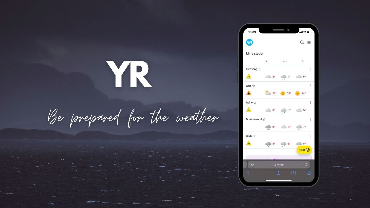
#1 Yr.No – Stay Ahead Of The Norwegian Climate
Developed by the Norwegian Meteorological Institute, the Yr.no app offers detailed weather information, including temperature, precipitation, wind speed, and more. In addition, it covers various locations throughout the country, allowing you to plan your activities accordingly and stay prepared for changing weather conditions.
Yr.no is our go-to source when checking the weather forecast. However, do not trust in 100%, especially in Lofoten. We have very local weather here that changes rapidly, so take it more as a guideline for what kind of weather you can expect and be always ready that it can be worse than the weather forecast predicts.
👉 Click here to download the Yr.no app for Android and iOS!
#2 Windy – Understand the Wind
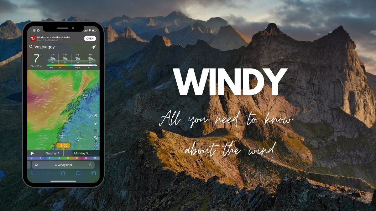
Windy is a weather app that provides detailed weather forecasts, including wind conditions, wave heights, and other meteorological data. It’s handy for outdoor enthusiasts, hikers, surfers, and kiters, but also for people planning to chase the northern lights without a guide.
Windy is one of our go-to apps for checking the weather when hunting for the Northern Lights, as it provides valuable information about cloud cover and wind direction. By displaying the layering of clouds (low, mid, and high) and offering detailed wind direction data, Windy allows you to asses where you would have the highest chance of observing the Northern Lights as you need clear skies/minimal cloud coverage. First, however, you need to know how to read the data!
👉 Click here to download the Windy app for Android and iOS!
PUBLIC TRANSPORTATION APPS FOR TRAVELLING IN NORWAY
Navigating the public transport system in Norway can be a challenge. So whether you’re planning a trip to Oslo, Bergen, Trondheim, or Tromsø, understanding the intricacies of the local transportation network is essential.
Luckily, in the digital age, there are several apps designed to make your public transport experience in Norway as easy as possible. From real-time updates on bus and train schedules to ticket purchasing and route planning, these apps should be your go-to companions for seamless travel throughout the country.
#3 Vy – Your go to App for Traveling By Train
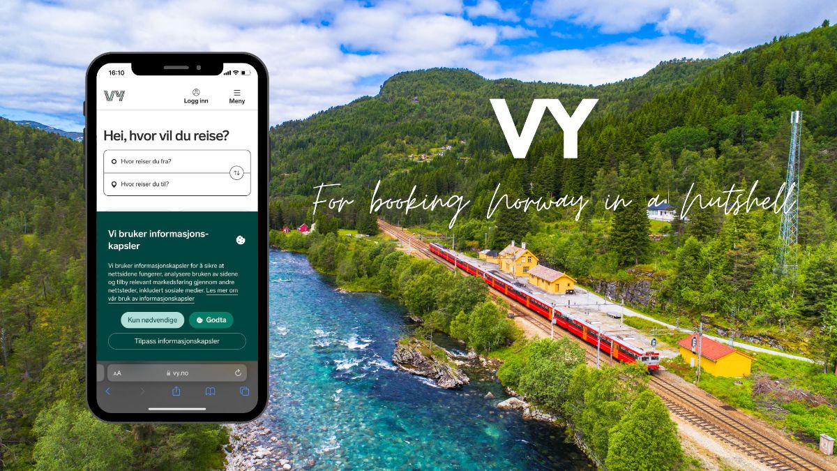
Vy.no is an essential app for travellers using public transportation in Norway. It provides comprehensive information on train schedules and ticket booking. It is an essential app if you plan to do Norway in a Nutshell on your own.
You can also buy single tickets, tickets for extra zones and season tickets for a range of regional public transport companies such as Ruter (public transport in Oslo) and Skyss (public transport in Bergen). You can now also book a taxi via the Vy app in many parts of the country.
👉 Click here to download the Vy app for Android and iOS.
#4 AtB/Ruter/Skyss/Kolumbus/Tromsbilett
These apps are specific to different regions in Norway and provide local public transportation information. They offer schedules, routes, ticket purchasing options, and real-time updates for buses, trams, ferries, and other modes of public transportation.
Depending on the region you’re visiting, you can download the relevant app to navigate the local transportation networks conveniently.
👉 Trondheim: AtB
👉 Oslo: Ruter
👉 Bergen: Skyss
👉 Stavanger: Kolumbus
👉 Tromsø: Tromsbilett
#5 Entur.No – All-In-One App For Public Transportation In Norway
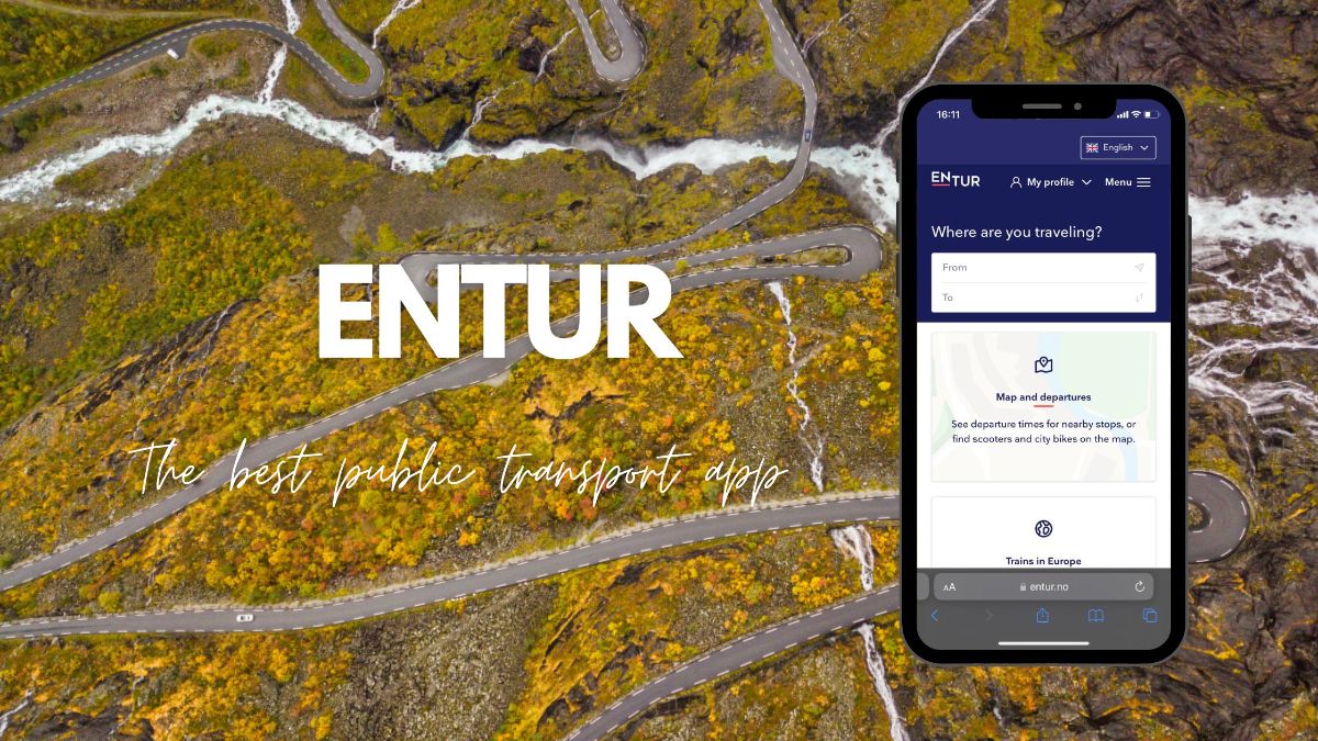
Entur.no covers buses, trains, trams, ferries, and more, providing comprehensive information on schedules, routes, and ticket options. The app lets you plan your journeys, find the best connections, and often purchase tickets directly from your mobile device. In addition, it covers multiple regions in Norway, making it an essential tool for navigating the country’s public transportation network.
👉 Click here to download the Entur app for Android.
USEFUL APPS WHEN TRAVELLING IN NORWAY BY CAR
Traveling in Norway by car offers a unique opportunity to discover the country’s breathtaking landscapes and scenic routes at your own pace. To make your road trip experience even more enjoyable and convenient, we handpicked several apps designed to assist you.
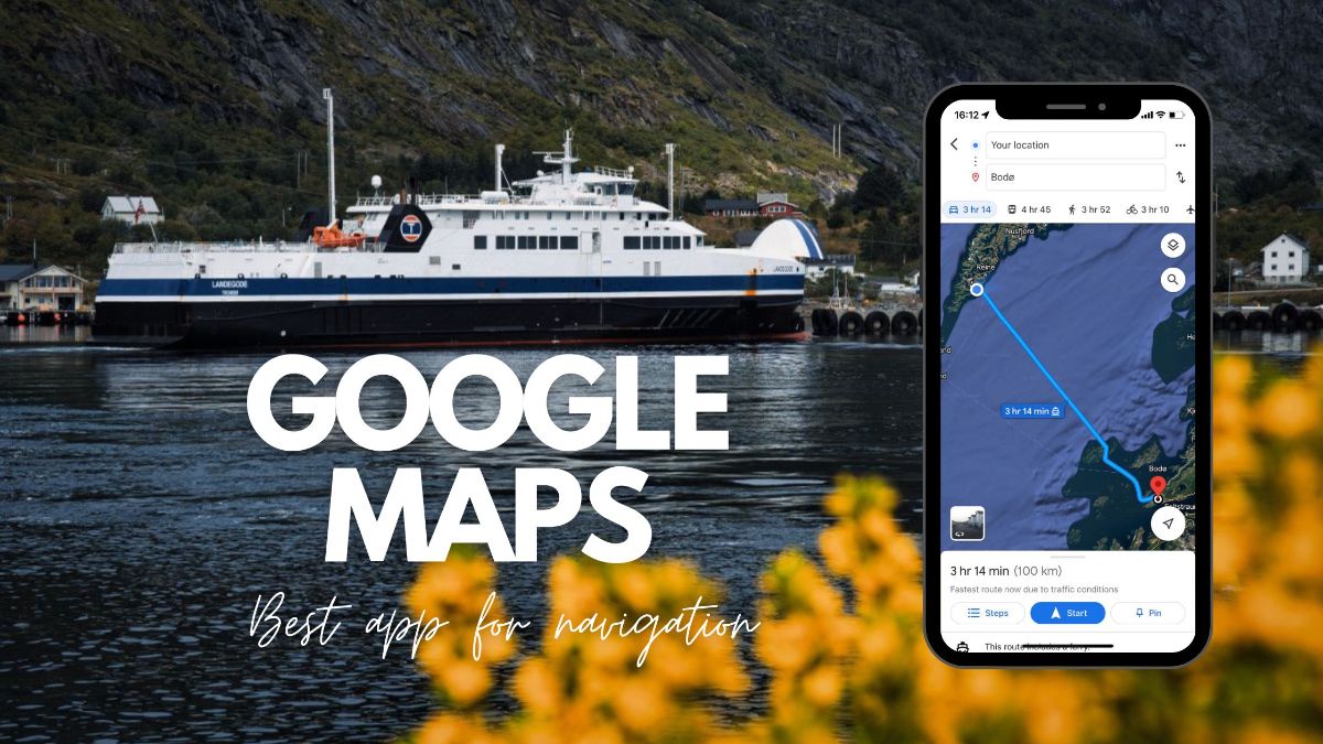
#6 Google Maps – Your Ultimate Navigation Companion
When navigating through the beautiful Norwegian landscapes, Google Maps reigns supreme. This user-friendly app offers detailed maps, turn-by-turn directions, real-time traffic updates, and public transportation information. So whether you’re hiking, driving, or taking public transport, Google Maps will ensure you never get lost.
👉 Click here to download the Google Maps for Android and iOS.
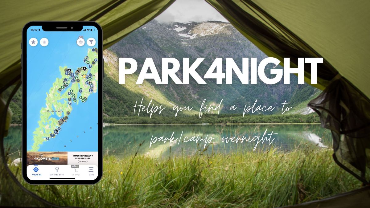
#7 Park4night – Find Suitable Overnight Parking/Camping
Park4night helps you find suitable places for overnight parking. In addition, the app offers user-generated reviews, photos, and essential details about facilities, making it easier to plan your stops and find safe and scenic places to stay during your road trip to Norway.
👉 Click here to download the Park4night app for Android and iOS.
However, you must exercise caution as the app contains user-generated content, and camping and overnight parking may not be permitted in certain areas marked as camping places in the app. Always refer to the comments section and adhere to the local regulations and rules.
👉 Read more: Rules for Wild Camping in Norway & The Newly Restricted Camping Areas in Lofoten
#8 EasyPark – Helpful app for parking in Norwegian cities
EasyPark allows you to find available parking spots, pay for parking, and extend your parking time remotely, avoiding the hassle of physical parking meters. The app also provides reminders before your parking time expires, helping you avoid unnecessary fines while exploring cities like Oslo, Bergen, or Trondheim.
👉 Click here to download the EasyPark for Android and iOS.
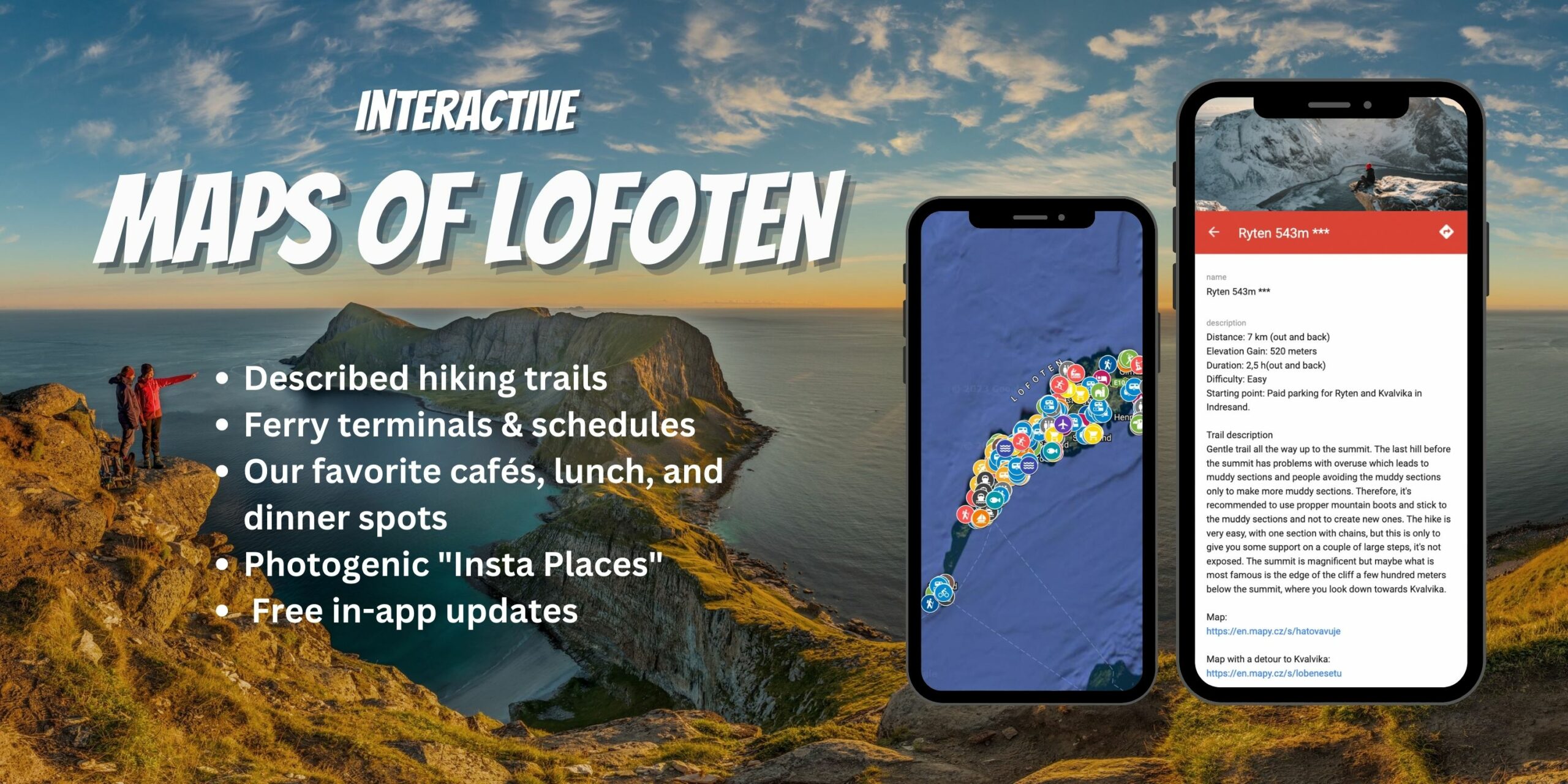
#9 Vegvesen – Road Updates at Your Fingertips
The Vegvesen app, developed by the Norwegian Public Roads Administration, is a valuable resource for road travelers in Norway. It provides real-time information on road conditions, including traffic congestion, road closures, construction work, and accidents.
The app also offers updates on ferry crossings, toll roads, and tunnels, helping you plan your routes and navigate efficiently throughout the country.
👉 Click here to download the Vegvesen app for Android and iOS.

BEST APPS FOR HIKING IN NORWAY
Are you planning to go hiking in Norway’s beautiful landscapes? If so, it’s important to have a reliable hiking app with offline maps. When you’re out in the wilderness where internet access may be limited, having access to detailed maps without needing an internet connection is crucial.
Two highly recommended apps for hiking in Norway are Norgeskart and Mapy.cz. These apps provide detailed offline maps, allowing you to navigate the trails confidently and make the most of your hiking adventure. No more worries about getting lost or relying on spotty internet signals. With these apps, you can explore Norway’s breathtaking trails with ease and convenience.
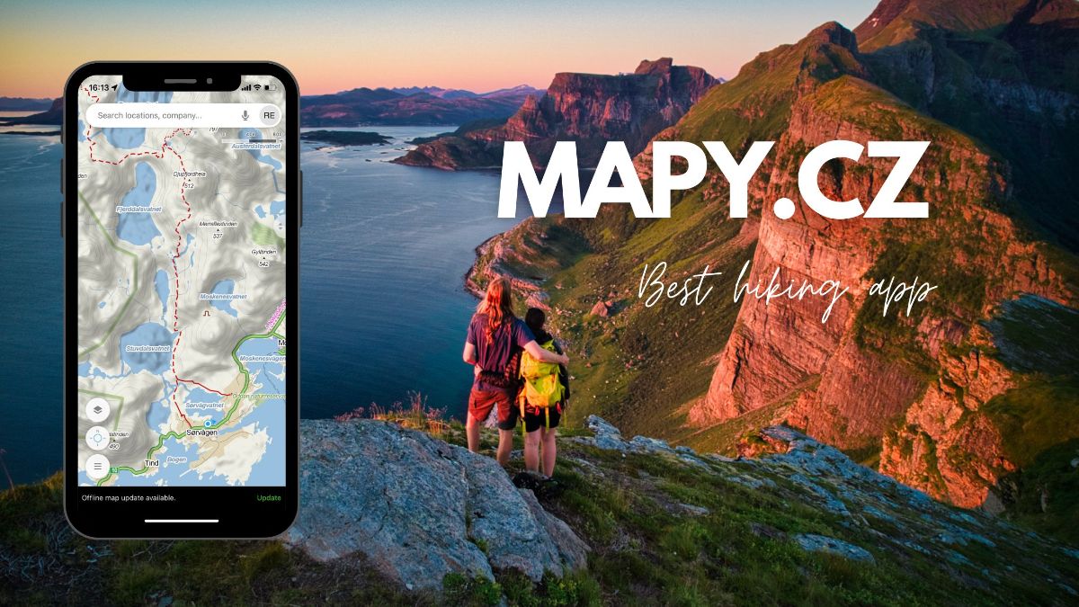
#10 Mapy.Cz: Explore Norway With Detailed Offline Maps
Mapy.cz is a versatile mapping app that provides detailed maps and navigation features for planning a hiking trip in Norway. It offers topographic maps, trail information, and elevation profiles, allowing you to explore different hiking routes and trails throughout the country.
👉 Click here to download the Mapy.cz for Android and iOS.
#11 Norgeskart: Detailed Topographic Maps
Norgeskart is a dedicated app for Norway, offering detailed maps tailored explicitly for exploring the country’s terrain. It provides topographic maps, hiking trails, and points of interest, making it a valuable tool for planning and navigating hiking trips in Norway. In addition, the app allows you to search for specific locations, mark waypoints, and access offline maps, ensuring that you have the necessary information even when you’re in areas with limited internet connectivity.
👉 Click here to download the Norgeskart app for Android and iOS.

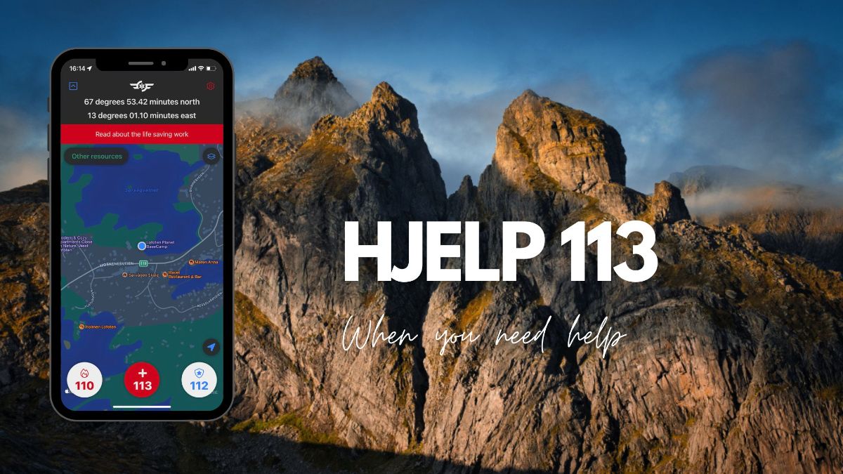
#12 Hjelp 113: Emergency App For Norway
Hjelp 113 is the emergency app for Norway, connecting you directly to emergency services. In case of emergencies, including accidents, medical incidents, or other urgent situations, the app provides quick access to police, ambulance, and fire services. It also uses GPS to share your location with emergency responders for faster assistance.
👉 Click here to download the Hjelp 113 app for Android and iOS.
BEST APPS FOR PREDICTING THE NORTHERN LIGHTS IN NORWAY
If witnessing the ethereal Northern Lights is on your bucket list, these apps are handy. Explicitly designed for Northern Lights enthusiasts, these apps provide real-time Aurora Borealis forecasts.
#13 My Aurora Forecast & Alerts
This app provides accurate Aurora borealis forecasts and alerts for locations worldwide, including Norway. It offers information on the probability of seeing the Northern Lights and the expected intensity and visibility. The app also includes a map feature that displays the current aurora activity and allows you to set up notifications for optimal viewing opportunities.
👉 Click here to download My Aurora Forecast & Alerts for Android and iOS.

#14 Aurora Alerts
Aurora Forecast is a comprehensive app that offers Aurora borealis forecasts, including predictions for Norway. It provides detailed information on the probability of seeing the Northern Lights, cloud coverage, and geomagnetic activity.
👉 Click here to download the Aurora Forecast app for Android and iOS.




4 Responses
Amazing, the article is really worth.
Hi I want come back to norge
In addition to several of the apps you mentioned, I also used TIER and similar apps for renting e-bikes and scooters. Ruter, Google Translate, and Google Drive were the most used. Google Drive had all my planning maps with car chargers, ferries, restaurants, and attractions pre-identified.
Good tips, Mark! Thank you for adding these 🙂