
 160+ reviews
160+ reviews

To be absolutely honest, we use the term “best hikes in Lofoten” because we know that it is what people search for. However, “the best hike” is very subjective. It depends on your preferences, fitness, experience, and various other factors.
For example, my favorite hike is Håen on the island of Værøy. Why? Because it has absolutely epic views, not just at the end at the viewpoint but along the whole way. Moreover, you follow an old asphalt road pretty much all the way to the top, so you can just enjoy the walk without constantly scanning the terrain, being out of breath, and worrying that you will slip and twist your ankle.
If you asked Ivar, he would probably tell you that his favorite hike is Ulstinden. Why? Because nobody ever goes to that mountain. The hike there is long, technical, and not suitable at all for most people. And that is what he loves—to be alone in the mountains and enjoy a view that only a few will ever see.
I guess you understand where I am heading with this, right?
We should have probably called this article “the most popular” hikes in the Lofoten Islands. The title would be more honest and accurate, but you would never find the article on Google, as most want to know which places are THE BEST.
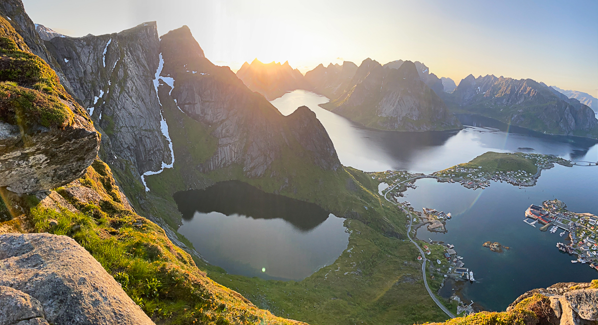
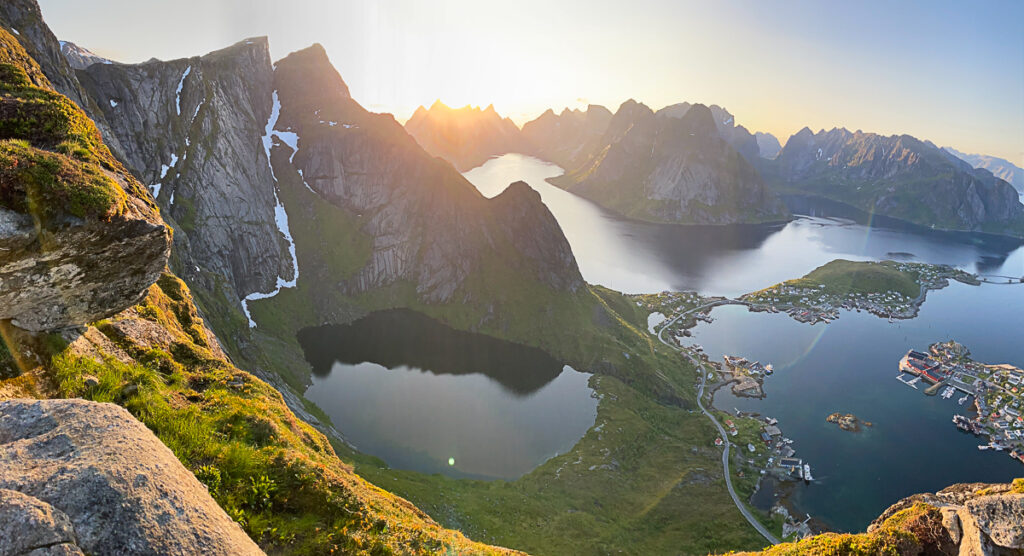
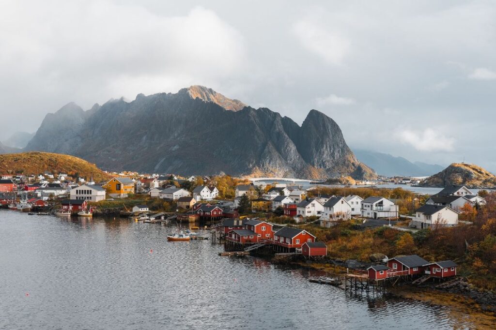
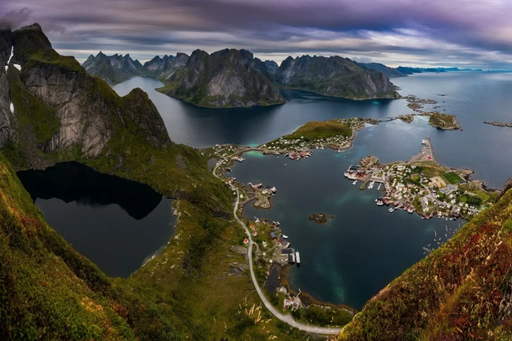
Reinebringen is undoubtedly the most popular hike in Lofoten. It is actually one of the most popular hikes in all of Norway. Previously, it was also considered the most dangerous hike in Norway, but that is luckily no longer the case.
The trail to Reinebringen used to be very steep, muddy and eroded. On several occasions, hikers would trigger loose stones rolling down the steep mountain face onto the people below.
Luckily, the municipality received funding to improve the trail, and now there are stone steps built by Nepalese Sherpas all the way to the top of the ridge. The construction of the stairs has tremendously improved safety and the hiking experience, but it has also attracted crowds of people.
We wrote an article about the hike to Reinebringen and the parking and camping situation around Reine. Make sure to check it out before you hike Reinebringen!
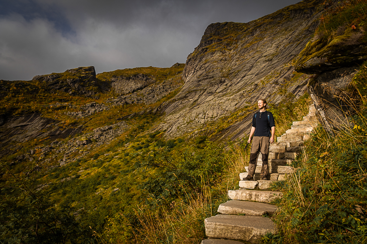
The best time for this hike is between mid-May and the end of September.
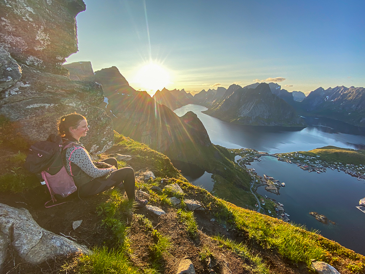
The top of Reinebringen is also a fantastic spot for watching the Midnight Sun, which occurs in the areas above the Arctic Circle during the summer months. In Lofoten, the midnight sun period lasts approximately from May 27 to July 17.
July and August are the peak months, and Reinebringen can get quite crowded, so we suggest starting hiking early in the morning or late in the evening to avoid the rush.
Note that the parking situation for Reinebringen is constantly evolving, and it is impossible to find free parking next to the trailhead.
The nearest (and only) free parking lot is Steffenakken in Djupfjorden, which fills up very quickly.
Your next best option is the paid parking in Reine Harbor (Reine Ytre Havn), a large parking area suitable for motorhomes.
Why we strongly advise against hiking Reinebringen in winter
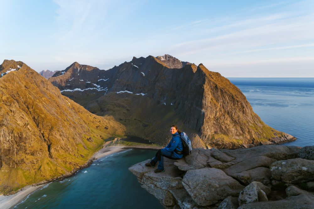
The day hike to Munkebu Hut and Munken in the Lofoten Islands is a beautiful moderate hike less steep than other Lofoten hikes.
The journey can be divided into two parts: from Sørvågen to Munkebu Hut and then from Munkebu Hut to Munken.
The first part of the trail to Munkebu Hut is well-marked, and traverses varied terrain, slowly gaining elevation before descending slightly to the hut. The path takes you past the small lakes above Sørvågen and offers beautiful views. A small section of the hiking trail involves using chains to ascend steep, sometimes slippery rock sections.
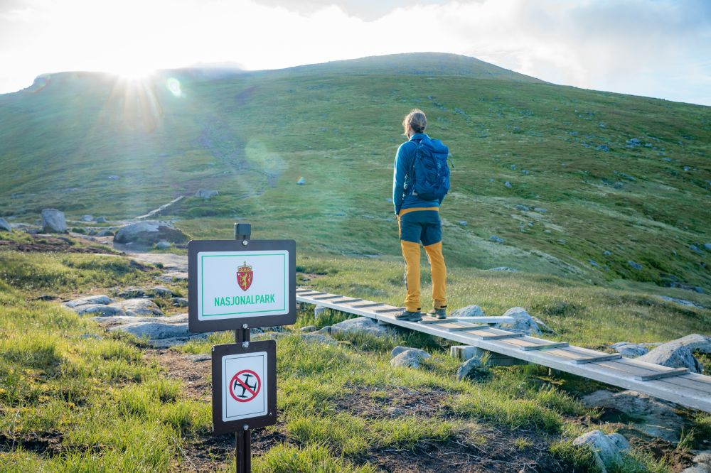
From Munkebu Hut, the trail to Munken climbs steadily, and the terrain becomes rockier as you ascend. The views open up as you near the summit, showcasing the stunning landscape of Lofotodden National Park.
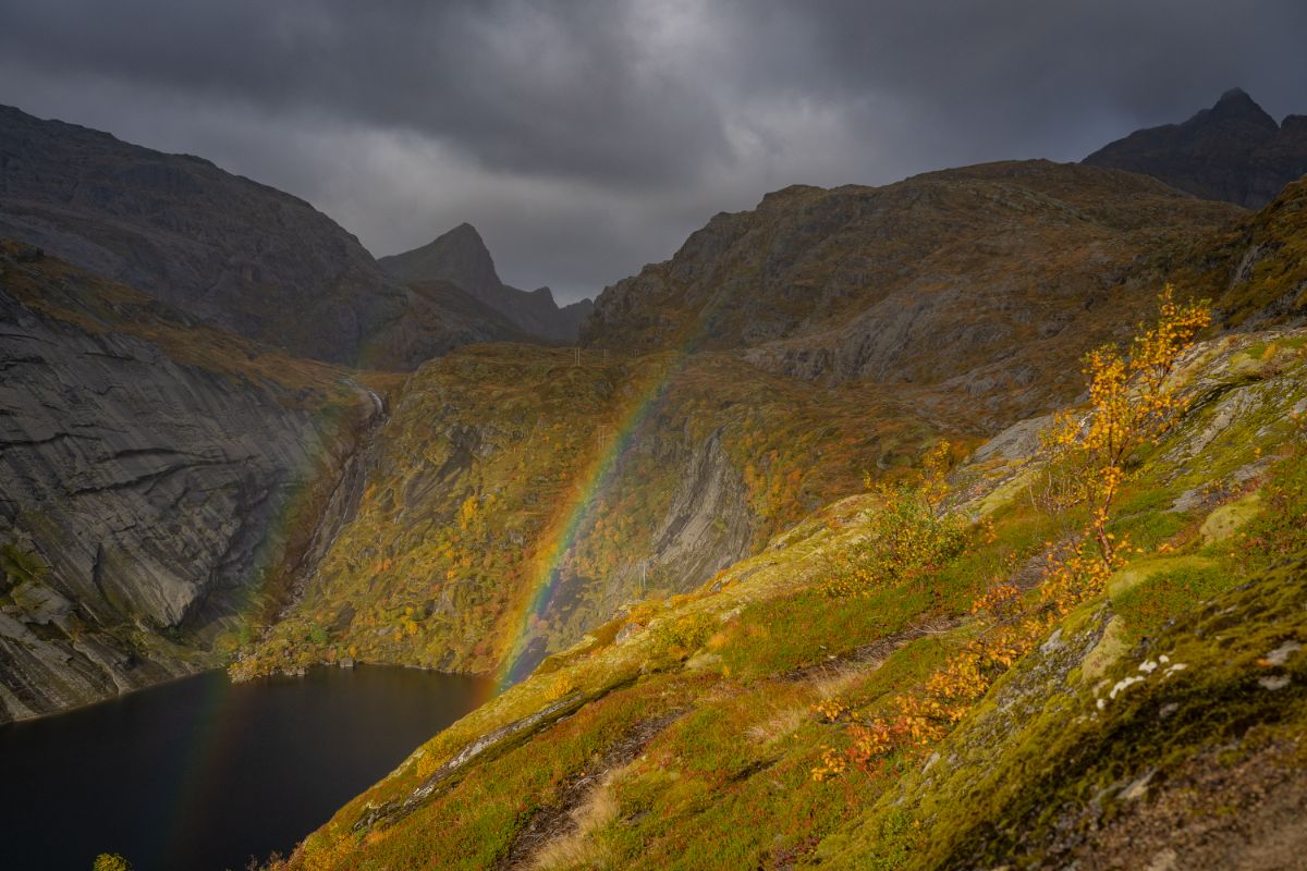
The first part of the trail to Munkebu Hut
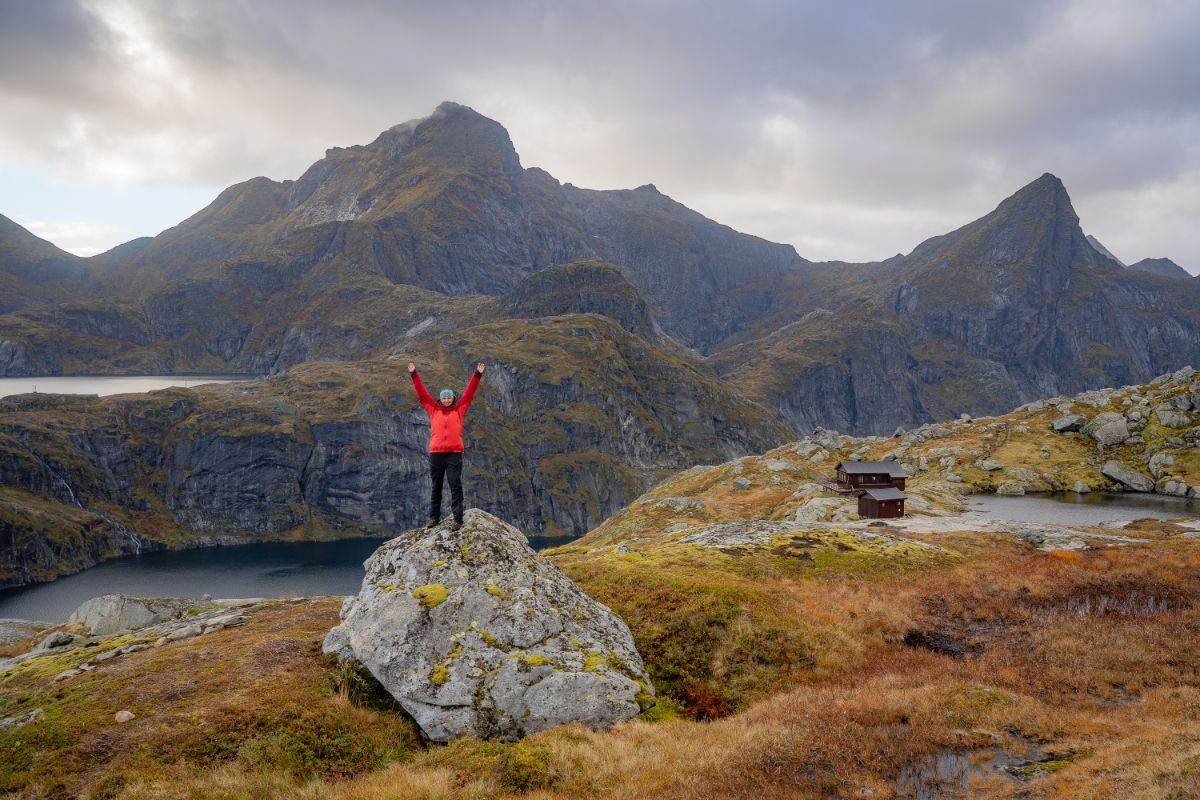
Munkebu Huts
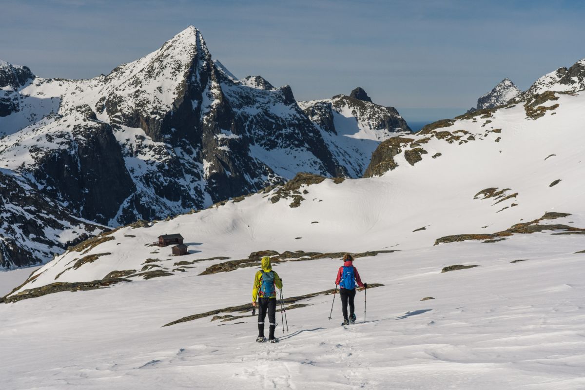
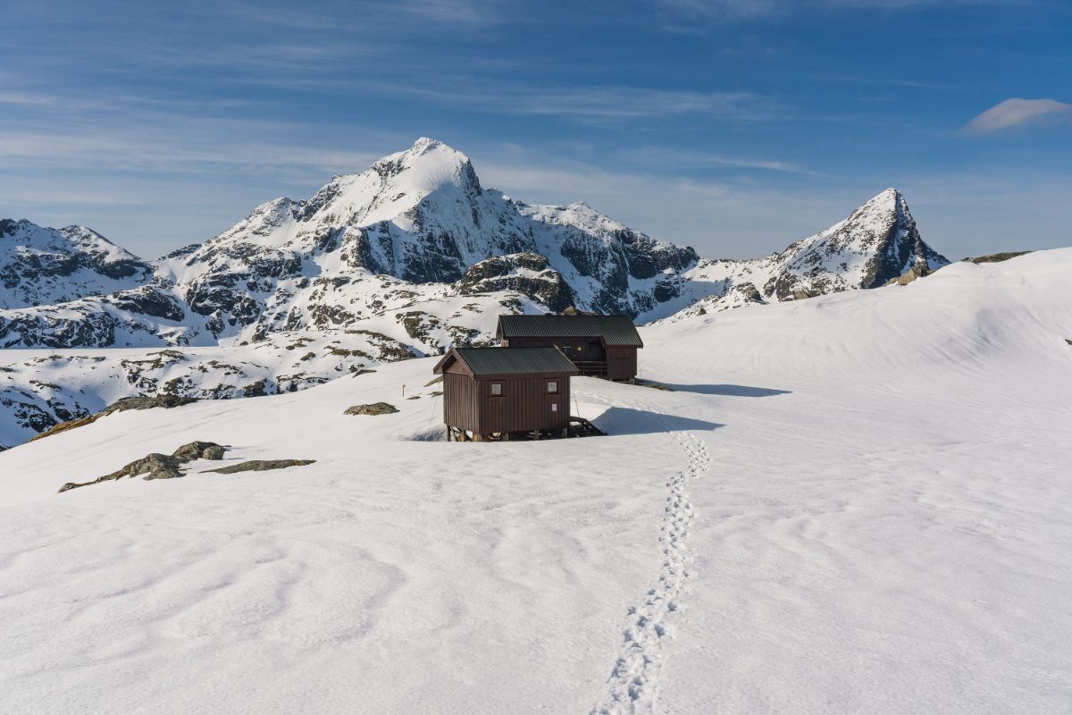
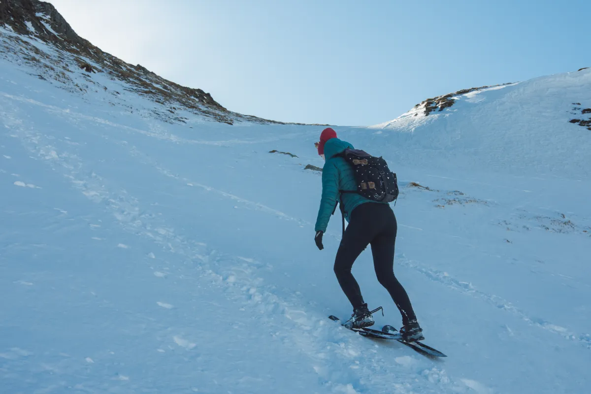
Hiking to Munkebu Hut during winter is possible, but it’s challenging.
It is essential to have proper winter hiking gear, including snowshoes and/or crampons, depending on the conditions. You should also have experience in winter hiking and knowledge of winter navigation.
Please note that the Munkebu Hut is not open during the winter months, so do not expect to be able to warm up inside.
Please feel free to contact us if you wish to rent equipment or arrange for a guide.
Volandstinden is a lesser-known gem, offering hikers a chance to escape the crowds. Despite its daunting appearance from below, Volandstinden is surprisingly accessible and is considered one of the easier hikes in the area.
Most of the trail to Volandstinden is characterized by a gentle incline, with some rocky sections as you get closer to the summit. These rocky sections can be more challenging in wet conditions or during winter.

Volandstinden as seen from Fredvang
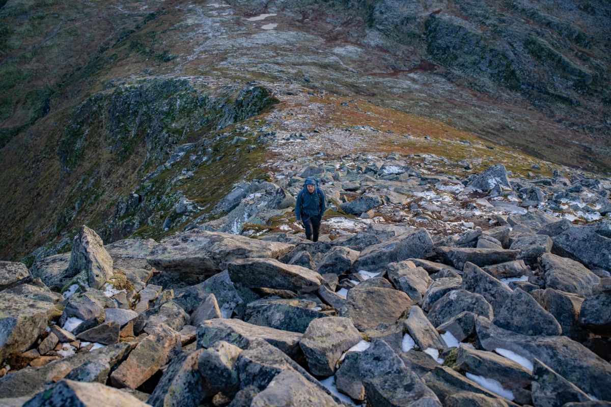
Despite its daunting look, Volandstinden is one of the easiest summits in Lofoten
Hiking Volandstinden in the winter is feasible. Depending on the conditions, you may require snowshoes and/or crampons.
The ascent to the final peak, which offers an amazing view of Fredvang bridges, can be icy; consider skipping this part if conditions are challenging.
Please feel free to contact us if you wish to rent equipment or arrange for a guide.
Known for its panoramic views, Offersøykammen is a relatively easy hike suitable for most fitness levels.
The hike is relatively short, around 2 kilometers one way, and the trail is well-trodden and clear. The summit offers incredible views of the surrounding islands, mountains, and beaches.
Offersøykammen is a popular mountain top for photographers who want to capture the beautiful northern lights in winter, or midnight sun in summer.
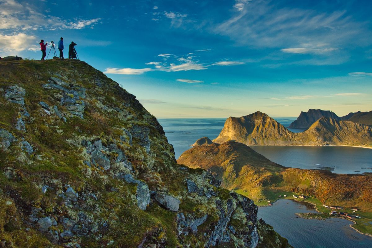
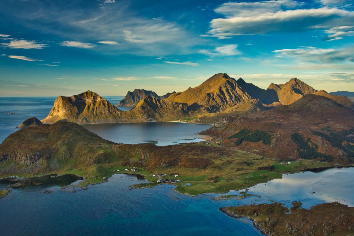
Offersøykammen is one of the more accessible summits in Lofoten that can be hiked during winter. Depending on the terrain, you may need snowshoes and/or crampons, just like for any winter hike in Lofoten.
Although the terrain is generally easy to navigate, the summit features a very exposed cliff. Be cautious and avoid going too close to the edges, as there could be overhanging snow with no underlying rock.
Please feel free to contact us if you wish to rent equipment or arrange for a guide.
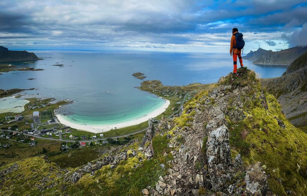
Mannen is a relatively short but steep hike near Leknes, famous for its dramatic views over Haukland and Uttakleiv beaches. It’s a popular choice for those looking for a quick hike with great views. The hike is quite steep, with a fairly exposed ridge adding an element of thrill.
Additionally, the top of Mannen is one of the best places in Lofoten for watching the midnight sun.
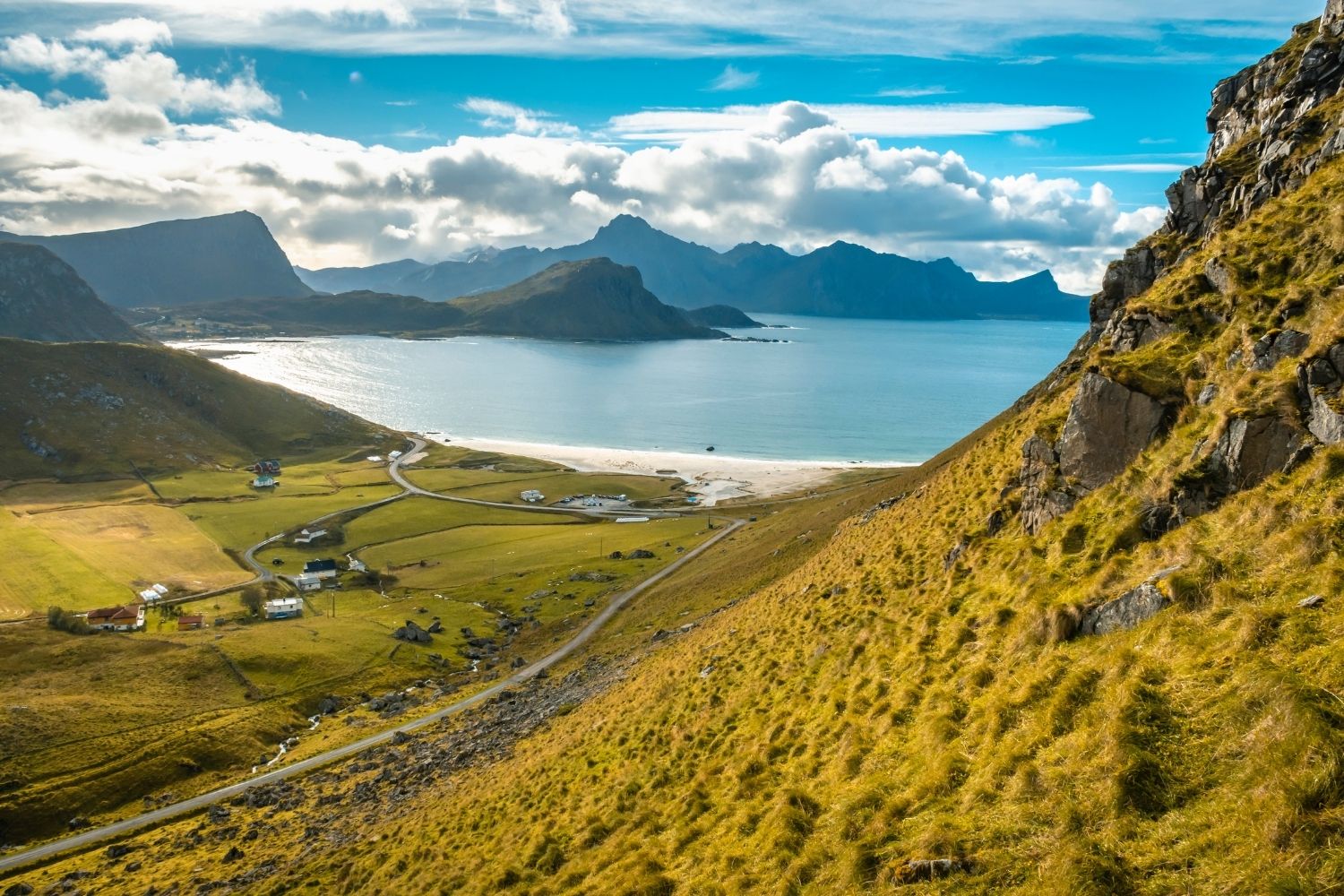
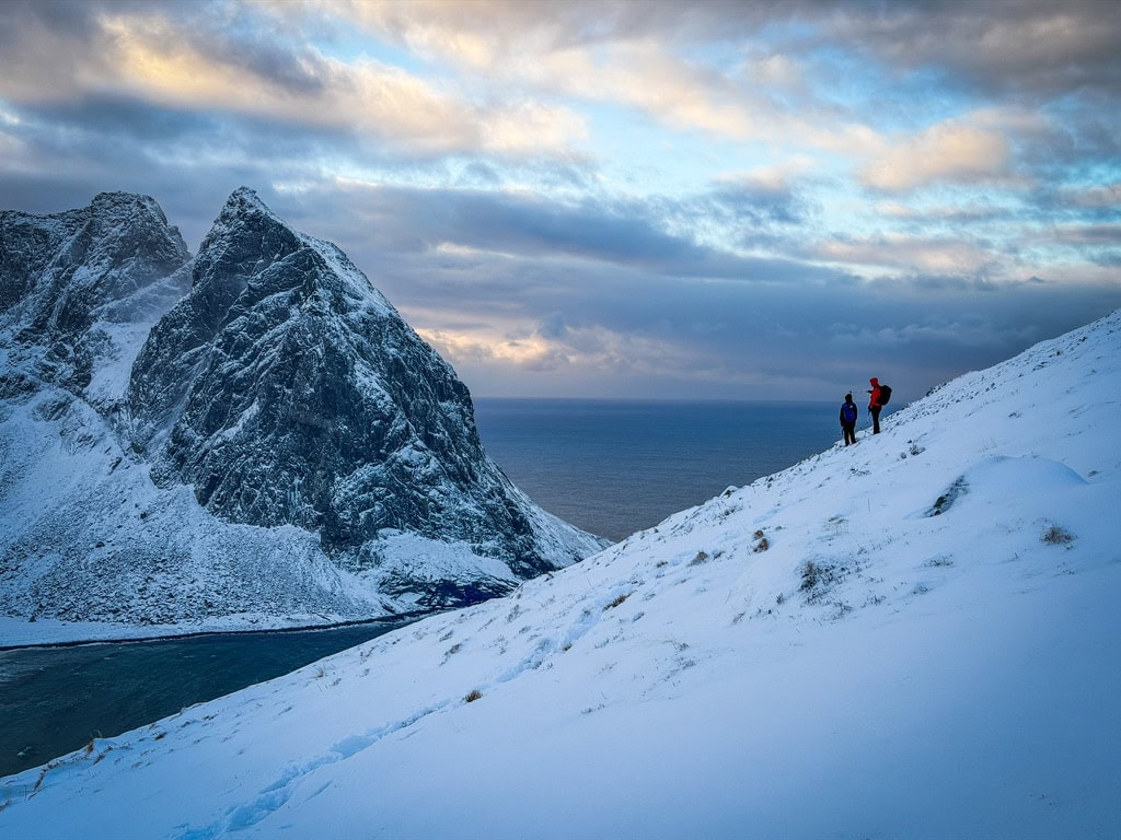
Hiking Mannen in winter is possible, but reaching the top will depend on specific conditions and your comfort level with exposed and potentially icy terrain.
It’s wise to assess your skill level and experience with winter hiking.
In any case, bring ice cleats/crampons.
Please feel free to contact us if you wish to rent equipment or arrange for a guide.
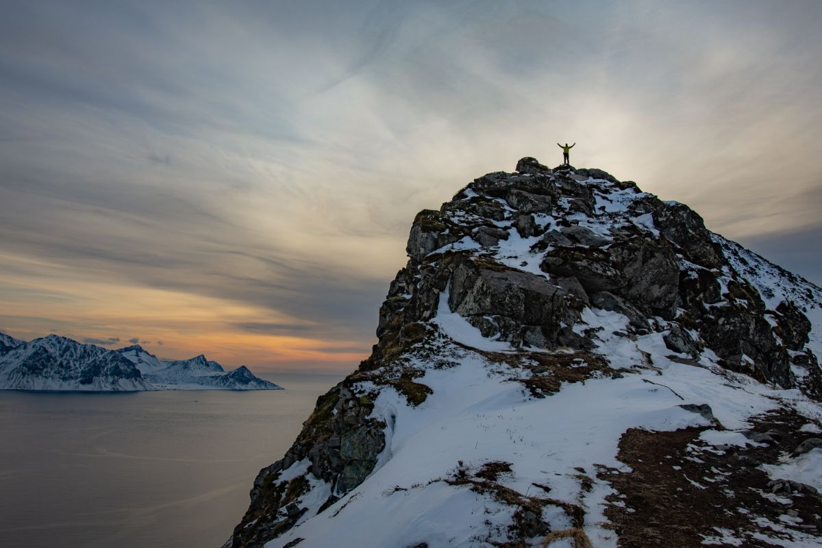
Mannen | Best Hikes in Lofoten
Festvågtinden, near the picturesque fishing village of Henningsvær, is a great hiking choice known for its stunning panoramic views. It’s a demanding hike but accessible for those with a reasonable fitness level. The trail involves some steep sections but is generally well-trodden and manageable.
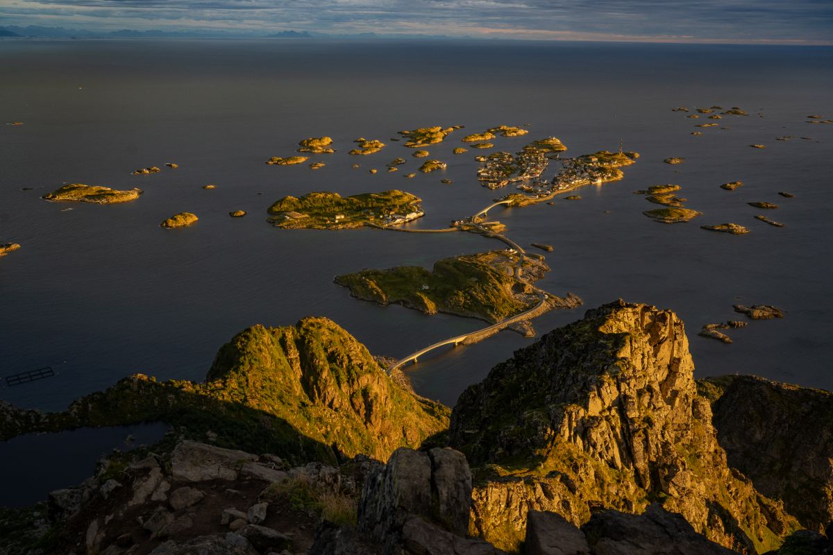
The view from Festvågtinden over Henningsvær
Regarding difficulty and steepness, Festvågtinden can be compared to Reinebringen before the Sherpa stairs were built.
Due to the trail’s steepness, we would not recommend attempting it in the winter.
The hike to Djevelporten and Fløya is a favorite among both locals and visitors due to its proximity to Svolvær. The well-marked trail leads to the famous Djevelporten, a large boulder wedged between two cliffs, and continues to the summit of Fløya.
Along the way, you will be rewarded with stunning views of the Svolvær area, including the iconic Svolværgeita peak. Djevelporten, which translates as Devil’s Gate, is particularly photogenic, featuring a large rock wedged above a gap, creating a natural ‘gate.’
If you are fit enough and don’t shy away from exposed terrain and a bit of scrambling, then you should continue to the top of Fløya, which offers a beautiful ridge walk.
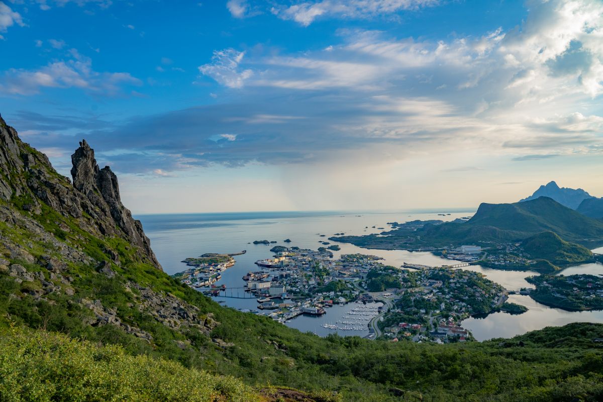
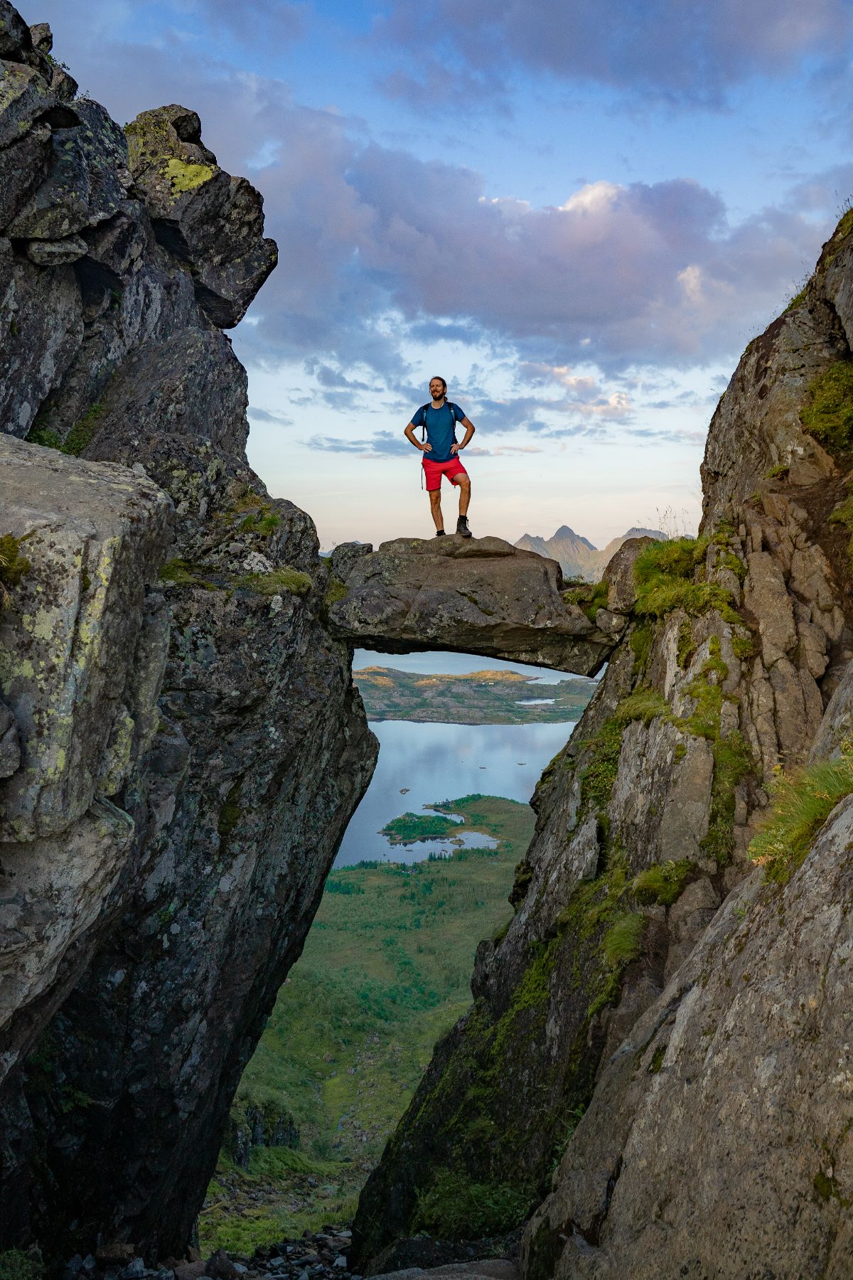
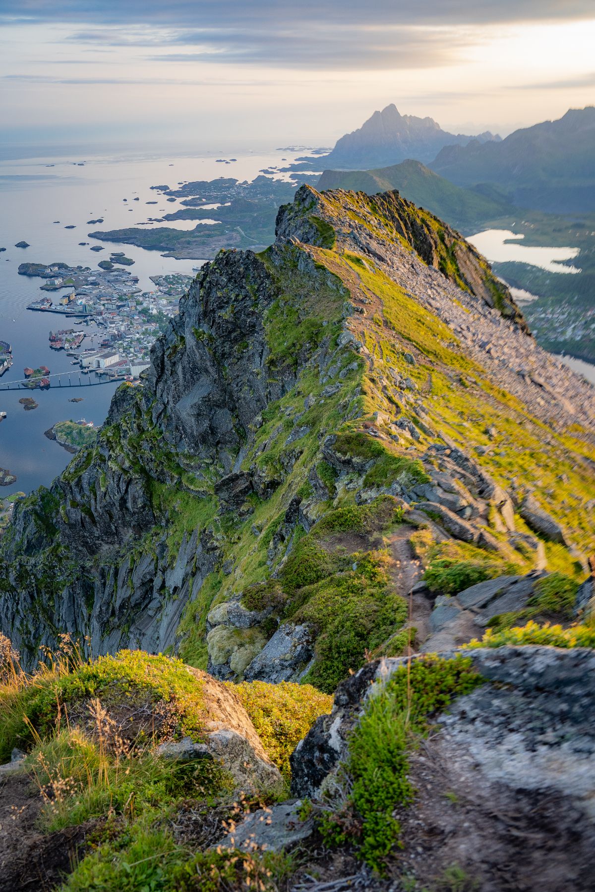
Saying whether the hike to Djevelporten is doable in winter is a double-edged sword, considering its popularity among inexperienced hikers due to its proximity to Svolvær.
Once muddy and worn out, the trail has been made more accessible by the construction of Sherpa stairs, similar to the case of Reinebringen.
However, these stairs can create a false sense of safety, particularly in winter when they become icy or worse when a layer of snow conceals ice.
Knowing the typical crowd that Djevelporten attracts, I would advise against planning to hike it in winter. If you do decide to go, be sure to bring crampons or ice cleats.
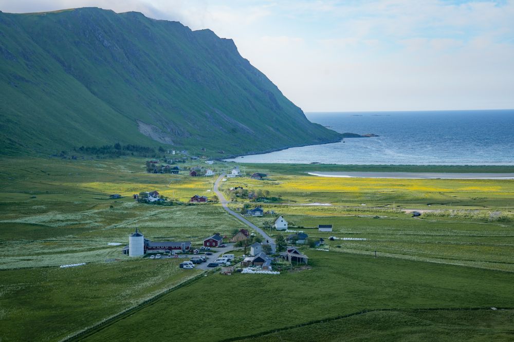
The hike to Håen on Værøy Island belongs undoubtedly among the best hikes in the Lofoten archipelago. It’s an extremely easy hike, following an old asphalt road built to access the radar station at the mountain’s summit.
The scenic hike offers a wonderful view of the Sørlandet village, nestled among the hills and cliffs of Værøy. However, these views are overshadowed by the even more breathtaking panorama from the viewpoint at the end of the hike.
While tunnels and bridges connect the main Lofoten Islands, reaching Værøy requires a ferry trip from Moskenes.
You must plan your journey carefully to avoid being stranded on the island, particularly if traveling outside the main summer season. Keep in mind that accommodation options on Værøy are limited.
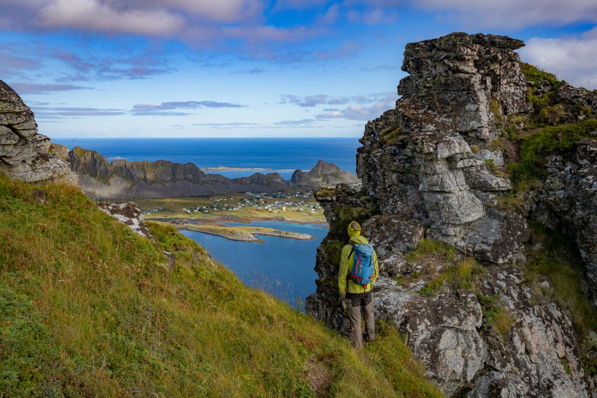
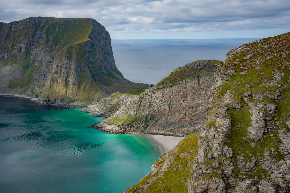
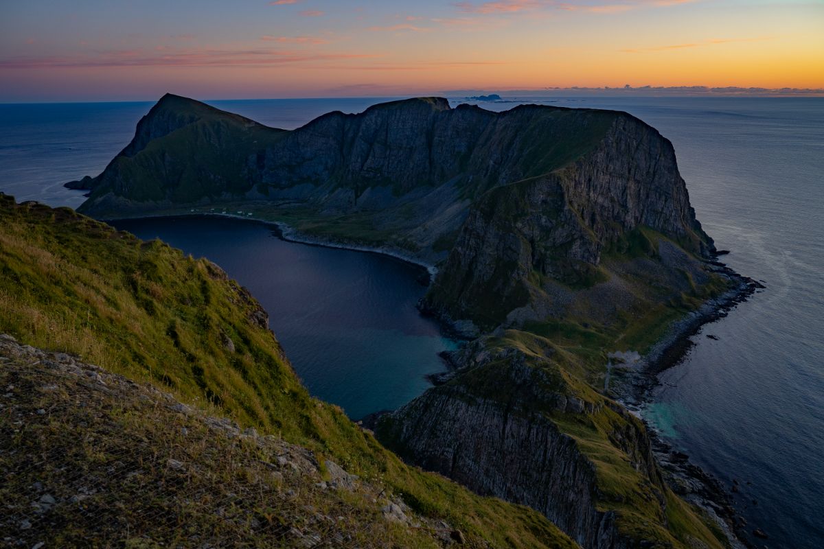
Yes, you can hike to Håen in winter. The hike is relatively easy, but the mountain plateau is very exposed to the wind. Please exercise extreme caution at the viewpoint, as it is particularly exposed.
If you’re planning to explore the rugged beauty of the Lofoten mountains, we highly recommend equipping yourself with our interactive hiking map.
The interactive map features 50 trails across Lofoten, each color-coded according to difficulty level.
You’ll find comprehensive details for each trail, including distance, elevation gain, estimated duration, and parking information.
We’ve also included concise descriptions highlighting any tricky or exposed sections, along with links to the route on a hiking map. This feature is incredibly helpful for planning your adventure, especially when you have limited time and want to select a hike that fits your schedule.
Best of all, our map is seamlessly integrated with the Google Maps app, making it easy to use without the need for additional downloads – except for mapy.cz, which is an invaluable hiking app that we highly recommend.

Steep Terrain: The mountains in Lofoten are steep. Despite not being very high, the hikes typically start at sea level and ascend sharply.
Lofoten Hiking Standards: What’s considered an ‘easy’ hike in Lofoten might be challenging elsewhere. If you are new to the area, start with an easier hike to gauge your comfort level.
Trail Markings: While popular hikes have well-worn paths, less frequented trails are usually not clearly marked. Carry a map or use a hiking app for guidance. We recommend mapy.cz.
Wet and Boggy Trails: Expect wet conditions. Wear proper hiking shoes and stick to established trails to prevent erosion.
Locating Trailheads: Finding the start of a trail can be difficult. Refer to maps and GPX files available in our Lofoten hiking map guide.
Limited Parking: Due to Lofoten’s geography, parking is scarce. In peak season, hike early or late to secure parking. Always park legally.
No Facilities on Trails: There are no facilities on the hikes. Attend to restroom needs beforehand and carry out all trash, including toilet paper and wet wipes.
Rapid Weather Changes: Weather in Lofoten can shift quickly. Check the weather forecast before heading out, and bring appropriate gear and clothing.
Mountain Rescue Services: In case of emergencies, don’t hesitate to call for help. Norway offers mountain rescue services without the high fees seen in other countries like the Alps. However, use this service responsibly.
Caution on Exposed Areas: Be extra cautious on exposed mountain peaks and ridges. Though not very high, these areas have seen fatal accidents.
Hiking in Groups: Avoid hiking alone. If you must, inform someone about your destination and expected return time.
Wild Camping: Be aware that some areas in Lofoten have local bans on wild camping. Before setting up a tent, ensure that you are not in an area where it is forbidden.
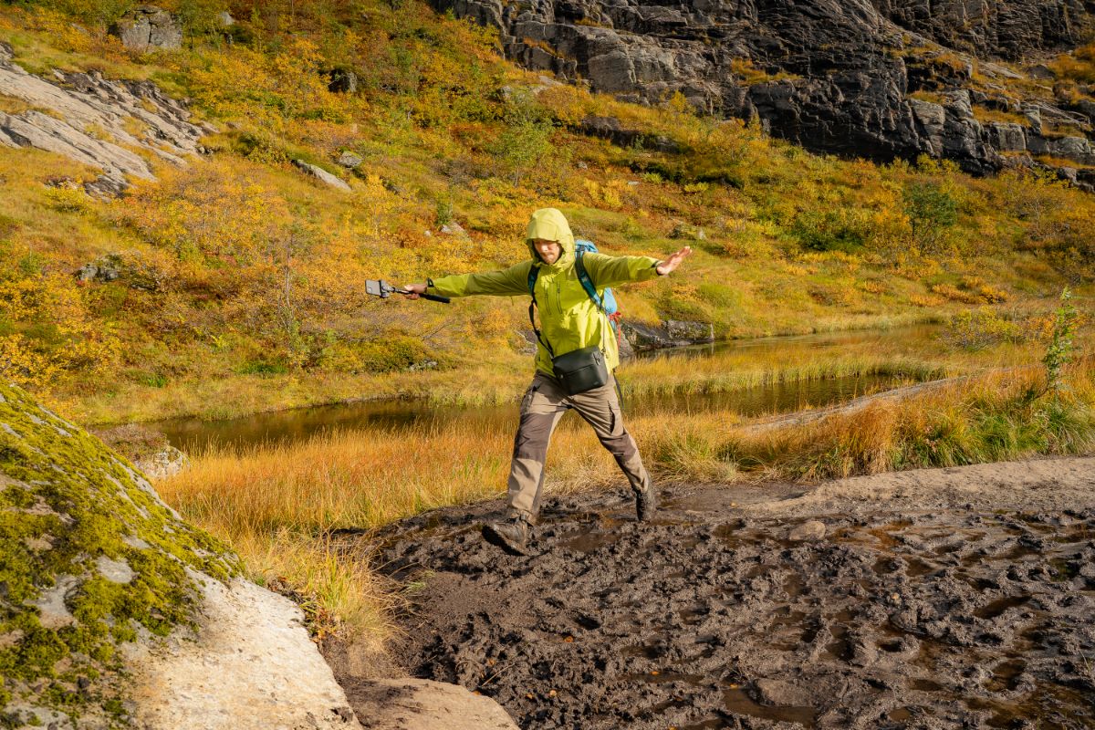
There’s no question that Lofoten is a paradise for hikers. In fact, it’s the hiking opportunities here that inspired us to move and settle in this area. We first lived in Fredvang, just a stone’s throw from the trailhead to Kvalvika Beach and Ryten, and later moved to Sørvågen. Sørvågen is an ideal starting point for accessing Lofotodden National Park, offering fantastic hikes like Munkebu and Tindstinden right on our doorstep.
The hikes we recommend in this article are well-known Lofoten classics. Eventhough, you might find yourself alone on Volandstinden, even in the height of the summer season.
While there are plenty of hidden gems and amazing mountain tops beyond these top ten hikes, we’re cautious about promoting them widely online.
The paths aren’t yet equipped to handle high levels of traffic. The wear and tear caused by large numbers of people on mountains like Reinebringen or Djevelporten led to the construction of Sherpa stairs to prevent further erosion. For this reason, please stick to the already established trails, even if they are a bit muddy.
If you’re curious about some less-traveled peaks and hidden treasures, feel free to purchase our hiking map of Lofoten.
Take care, and happy hiking!
Ivar & Radka

Hi there, this is us on the hike to Djevelporten! :)
How to get to the Lofoten Islands
(Travel to Lofoten by plane, bus, train, car or ferry)
Best Airports in Lofoten
All You Need to Know About the Bodø-Moskenes Ferry
(The ferry schedule, prices, pre-booking, and how to take the Bodø-Moskenes ferry for free)
How to Get from Tromsø to Lofoten
(Overview of different summer and winter routes between Tromso and Lofoten)
Where to stay in the Lofoten Islands
(Overview of traditional fishermen cottages-rorbuer, hotels, hostels, and campsites)
Drone Flying in Lofoten
(How do you fly your drone legally in Norway? Where is it forbidden to fly drones in Lofoten?)
Driving in Lofoten
(10 common mistakes tourists often make when renting a car and driving in Lofoten)
What to do in Lofoten besides hiking?
What to pack for Lofoten in winter?
(Explanation of the layering system, example of a packing list for Lofoten or northern Norway in winter)
Northern Lights Forecast for the Lofoten Islands
(Why is the local weather forecast more important than the aurora forecast?)

5.0 (160+ reviews)
One Response
Fantastic information , been in Norway about 5 times , not yet at Lofoten , now is next , and I am already planning , your information is great , anything you can share will be highly appreciated , Thanks and best regards , Armando