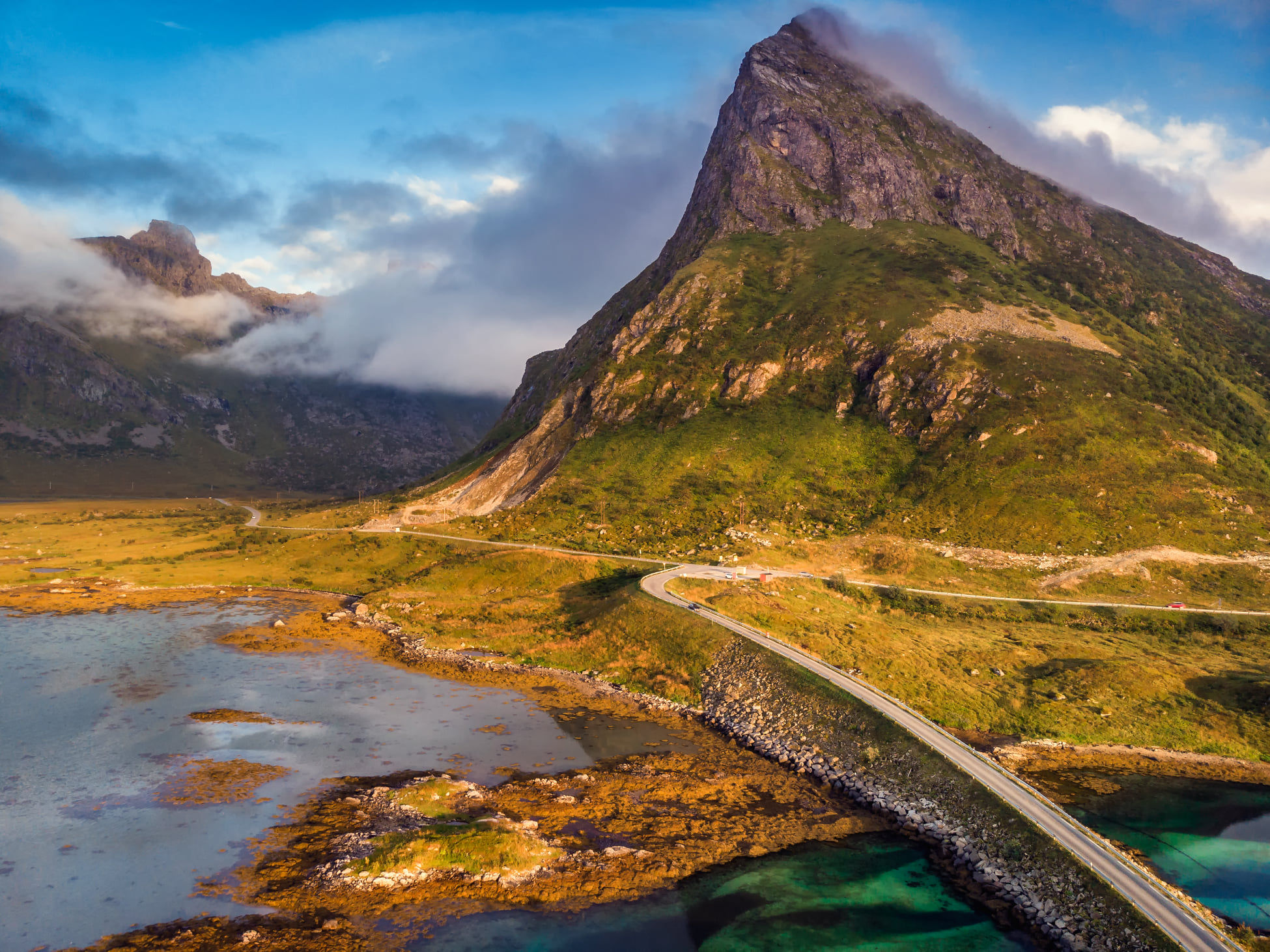
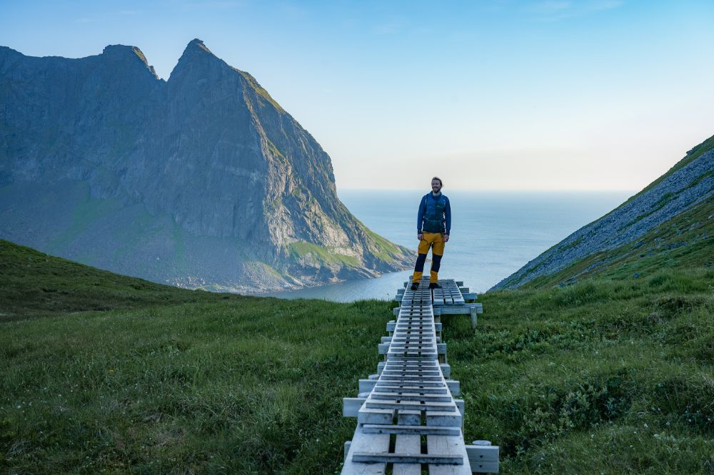
Hiking Ryten and Kvalvika Beach in Winter
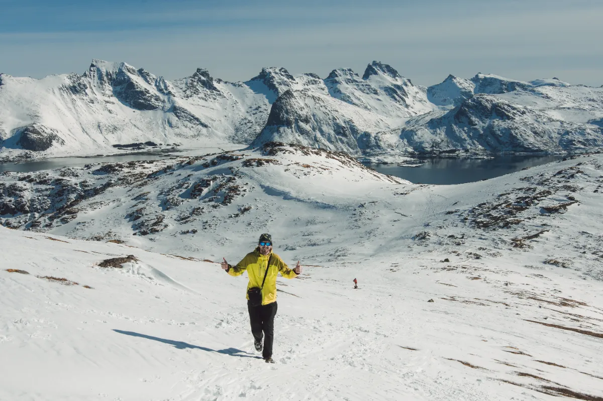
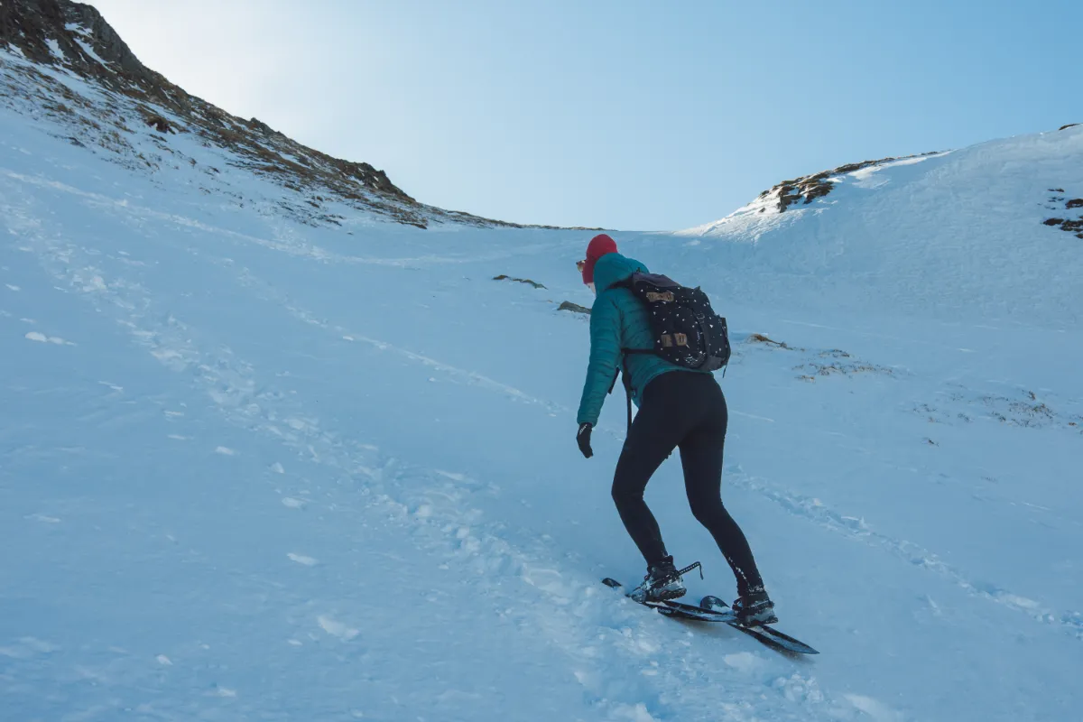
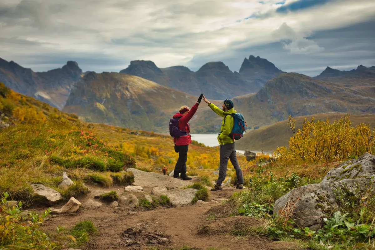
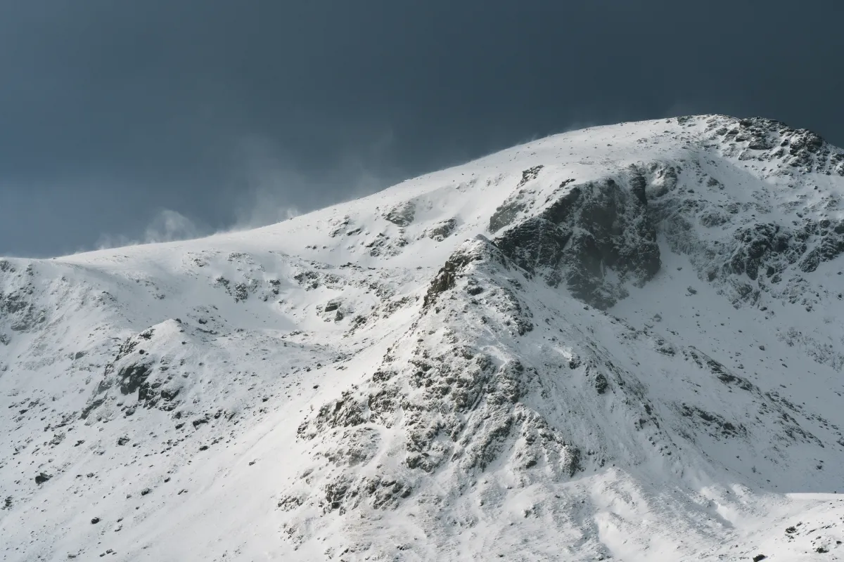
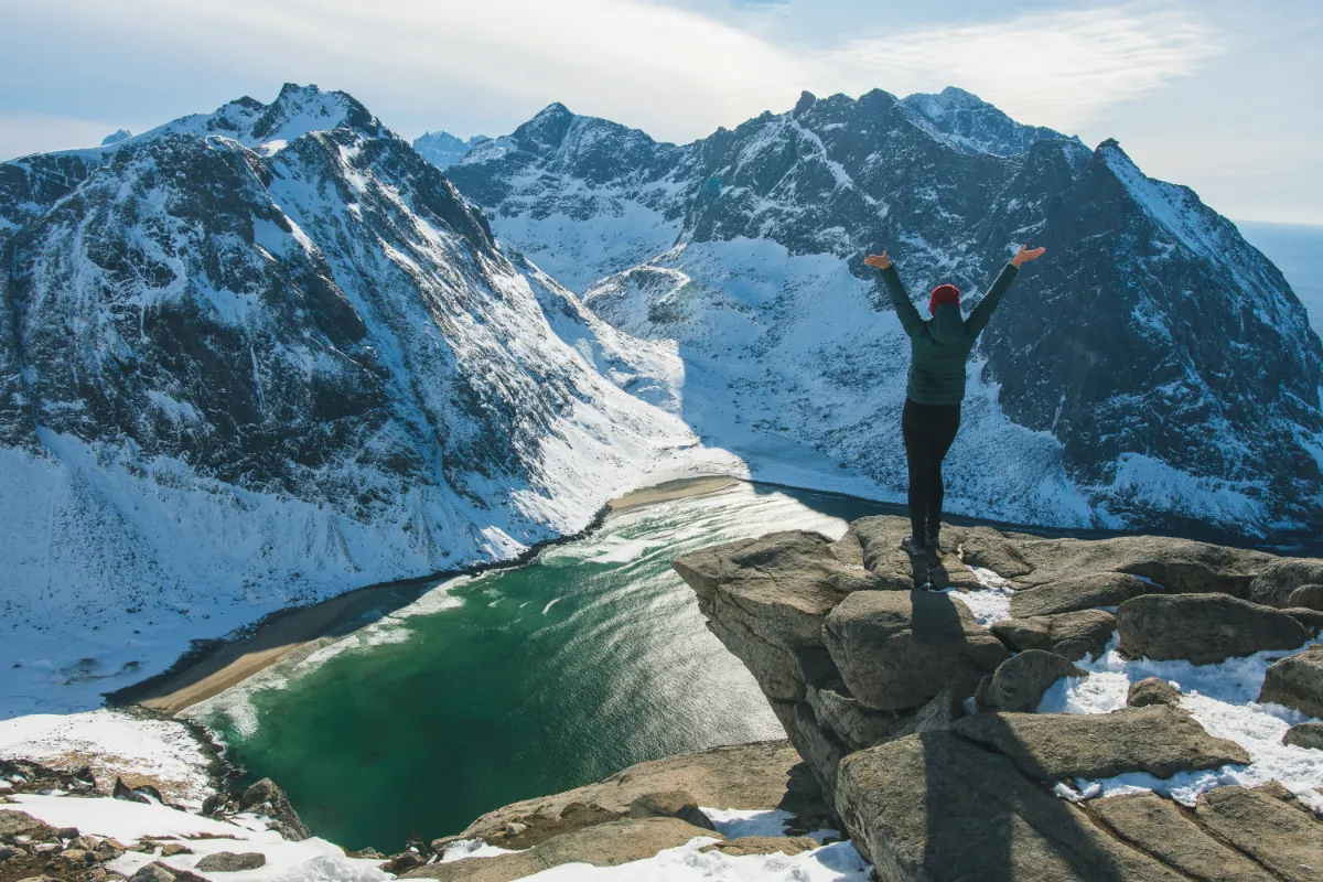
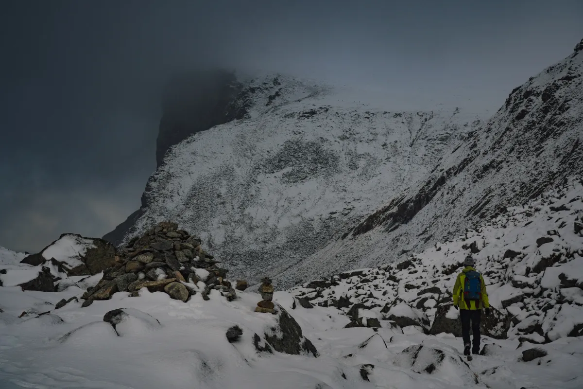
Unlike Reinebringen, Ryten and Kvalvika can be safely done in winter (under the right conditions and with the right equipment). Together with Stornappstinden, Ryten is a local favorite among skiers. If you are not an avid skier, hiking up the mountain peak is still possible.
Depending on the current weather conditions, you might need snowshoes in the upper section of the mountain. There might also be a few icy sections on the first climb, so microspikes/hiking crampons are also handy. If you do not have the proper equipment, contact us to find out about the rental possibilities.
👉🏼 Read more about hiking Ryten in winter
Wild camping on Ryten or Kvalvika Beach
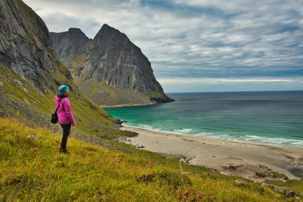
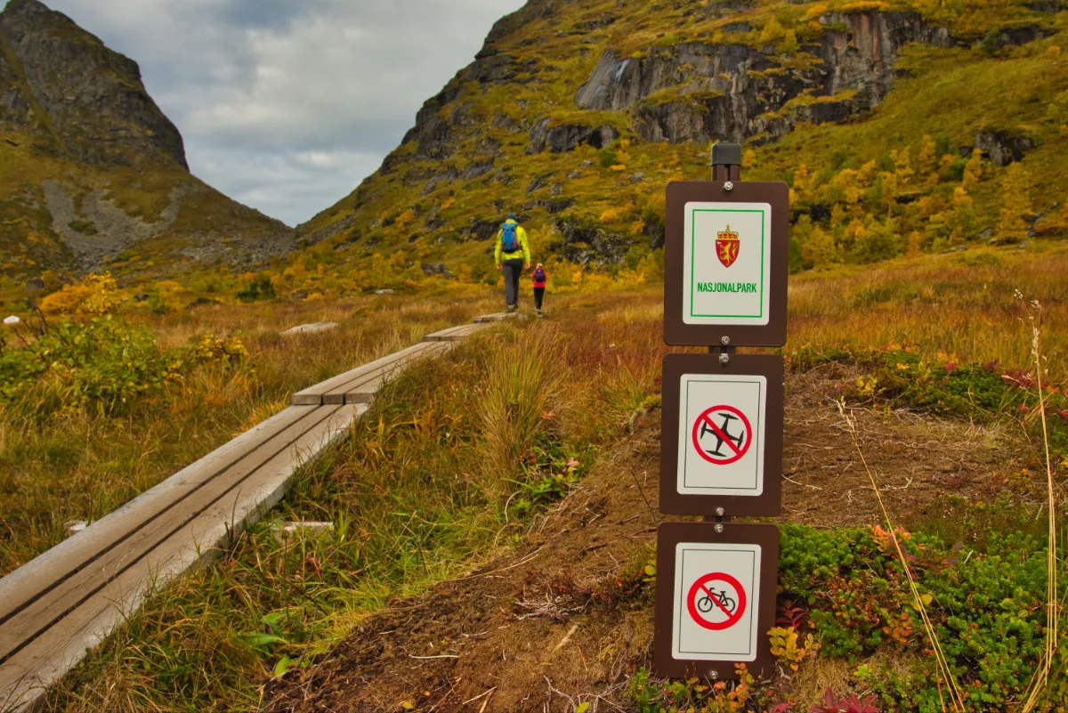
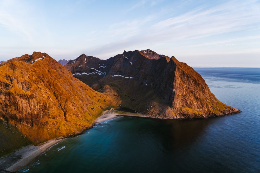
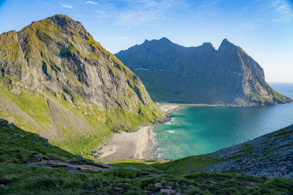
One thing we love about Norway is the right to roam. So, even though Ryten and Kvalvika are located in the Lofotodden National Park, wild camping is allowed there.
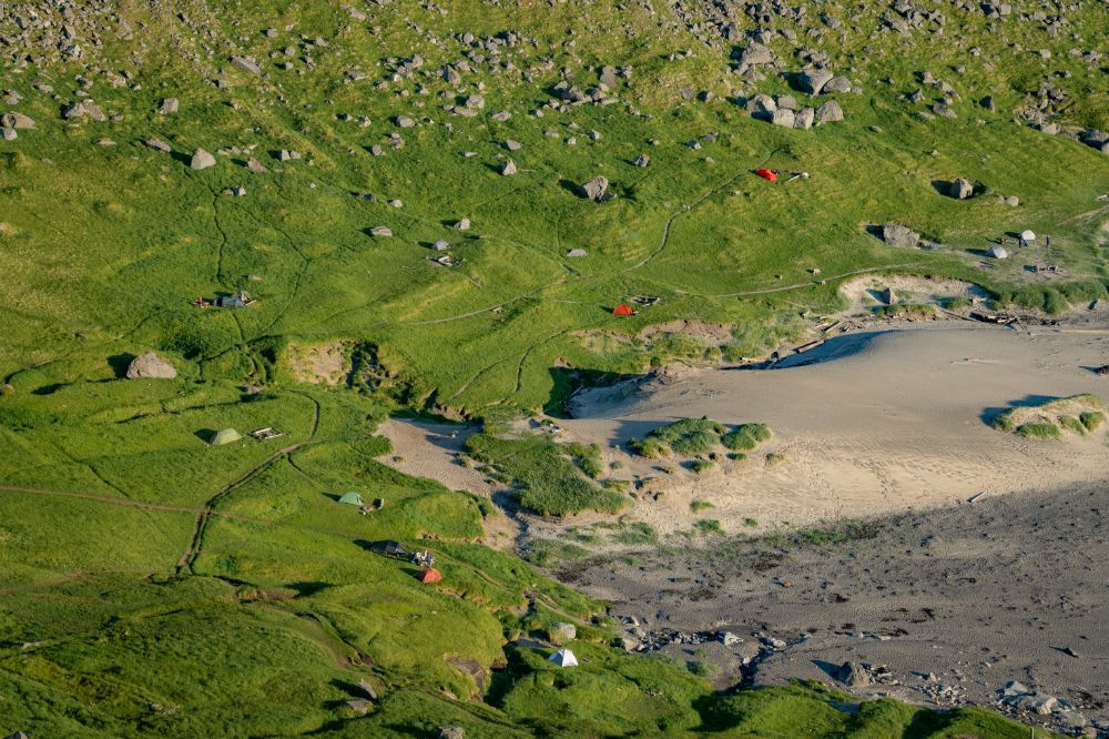
In fact, Kvalvika has become one of the most popular wild camping spots in Lofoten, which has created specific challenges.
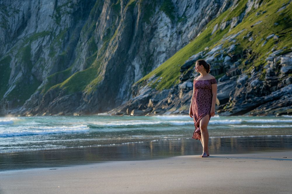
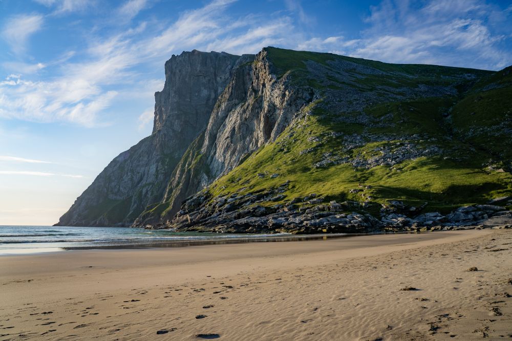
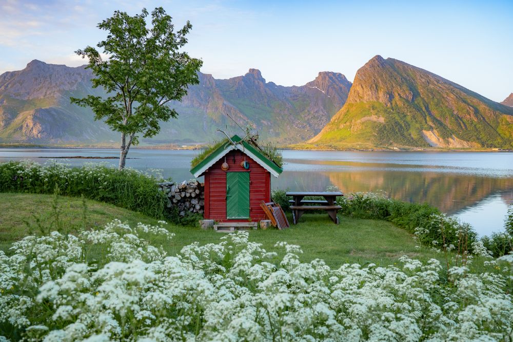
The best place to pitch a tent is the grassy meadow near the sandy part of the beach. A stream is nearby, but we would not recommend drinking from it without boiling the water first.
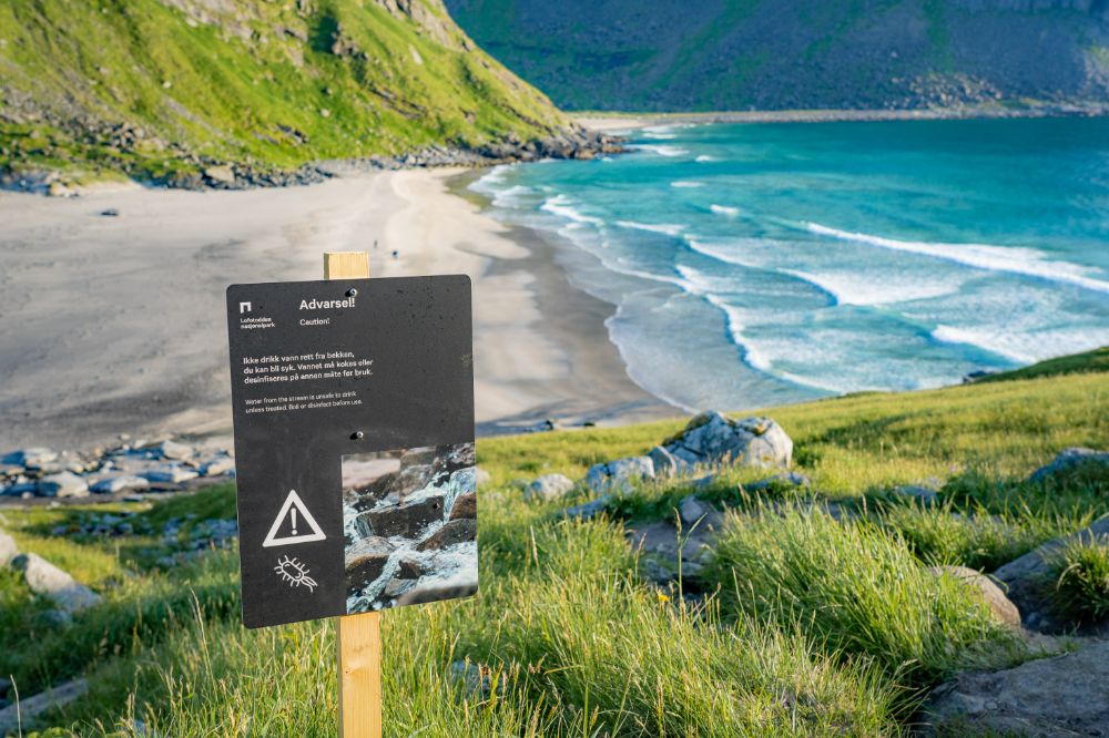
Drinking water from the streams around Kvalvika is not recommended.
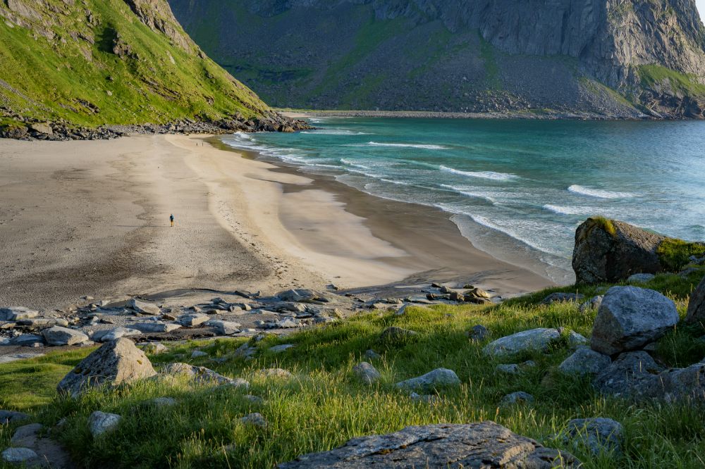
As we mentioned earlier, wild camping at Kvalvika Beach is quite popular. On a sunny summer day, as many as 100 people can stay overnight to see the midnight sun.
Since there is no toilet on the beach, people do their business wherever they find it private and convenient enough and do not bother much about staying away from the streams.
The researchers from the Norwegian Institute for Nature and Research conducted a survey on Kvalvika Beach in the summer of 2021. They mapped the areas where feces were found and took water samples from the streams where people filled their water bottles to test them for E. coli and other bacteria.
The water samples revealed relatively high values of E. coli bacteria in two out of three of the streams.
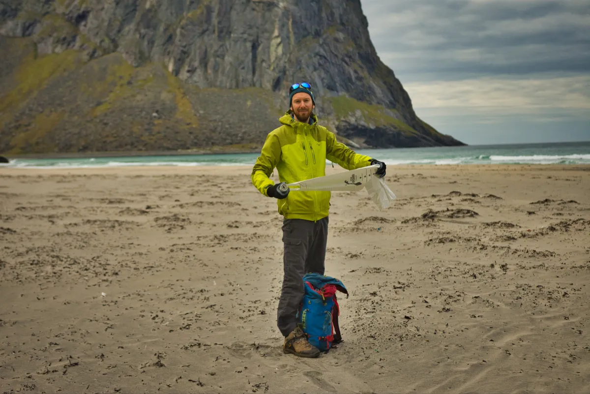
Before your trip, stop by the Lofotodden National Park Visitor Center in Reine and buy some WAG bags.
(As a part of the pilot project, the WAG bags will be available for free at the trailheads to Kvalvika in July 2023 and 2024).
(A WAG bag is a plastic bag used to carry human feces out of a wilderness area. WAG is an acronym that stands for Waste Aggregation and Gelling.)
If you do not have the WAG bag when nature calls, leave the trail, campsite, or water stream and dig a hole for your waste. Put the used toilet paper or wet wipes into a plastic zip-lock bag and bring it back to civilization, where you can dispose of it.
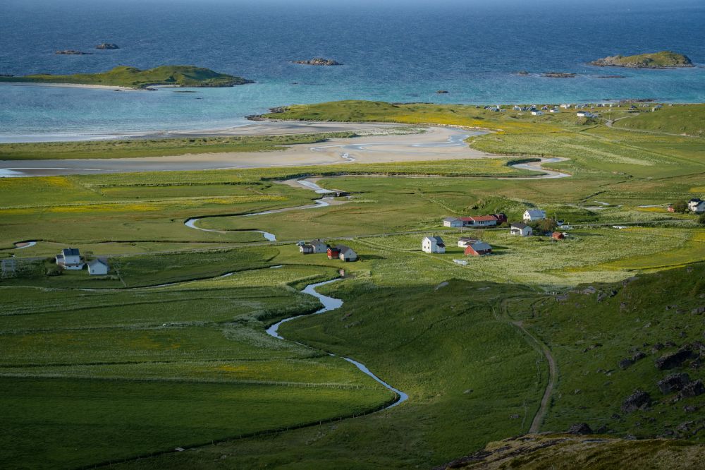
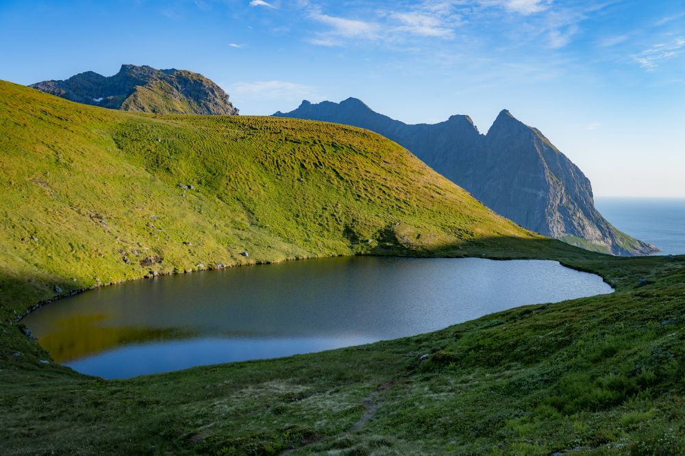
Regarding Ryten, it is possible to camp on the summit, where there are some flat areas to pitch a tent. The nearest drinking water is at Forsvatnet Lake, which is a nice place for camping.
Overnight parking & camping possibilities close to Kvalvika and Ryten trailhead
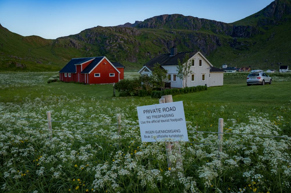
Generally, the same rules apply to overnight parking as to wild camping. You are not allowed to stay overnight in your car closer than 150 meters from the nearest inhabited building.
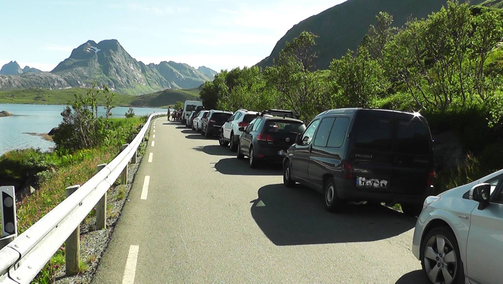
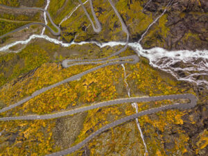
In Lofoten, the road often goes between the ocean and a steep mountainside, leaving not too many opportunities for road shoulders and parking areas. Also, some parking places belong to private houses and cabins, and you will find notice boards saying that camping and overnight parking there is prohibited.
You will still find some beautiful wild camping spots with epic views. We put them into our camping map of Lofoten, where we also wrote a short description of each of those places, including if the place is sheltered from the wind and if it is possible to pitch a tent there.
If you travel in the high season (end of June to the beginning of August), we recommend you start looking for a camping spot fairly early. Around 5-6 pm, most of the good ones are already taken.
But let’s talk about the overnight parking options close to Fredvang! Honestly, there are not too many.
#1
One of the popular overnight options is at the parking place at the Fredvang krysset, where the bus stop is. However, it can get quite noisy because it is next to the main road.
#2
Between Fredvang bridges is a private camping/parking area where you can stay overnight for a fee. It has no facilities, but it offers a nice view and good fishing possibilities.
#3
Right after you cross the Fredvang bridges, there is a small rest area on the left side of the road. It has some picnic tables and a small toilet. Camping there is prohibited, so please do not stay there overnight. But stop by at the BY THE WAY LOFOTEN food truck! Their sandwiches are epic!
#4
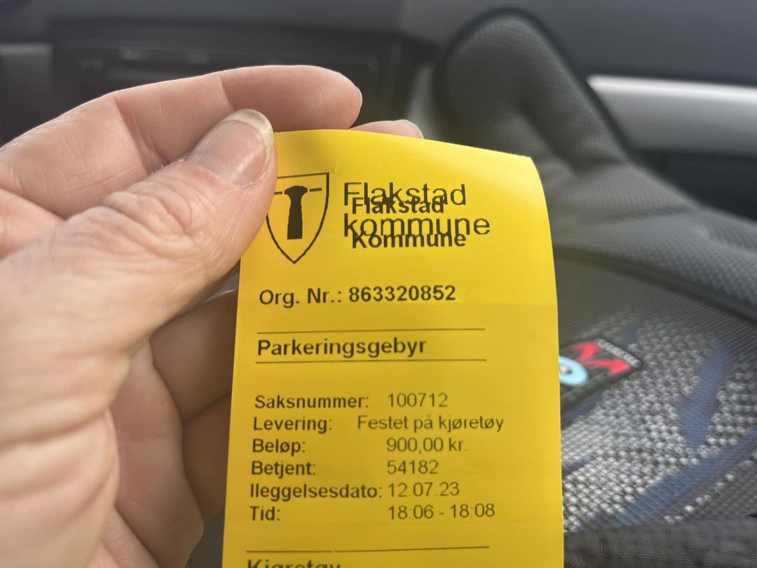
If you cross the bridges and turn right on the first crossroad, you will come to the old school in Fredvang, used as the municipality parking place. There is a small parking fee (250NOK per day), and campervans can stay there overnight. There are two portable toilets there, but no electricity or water.
#5
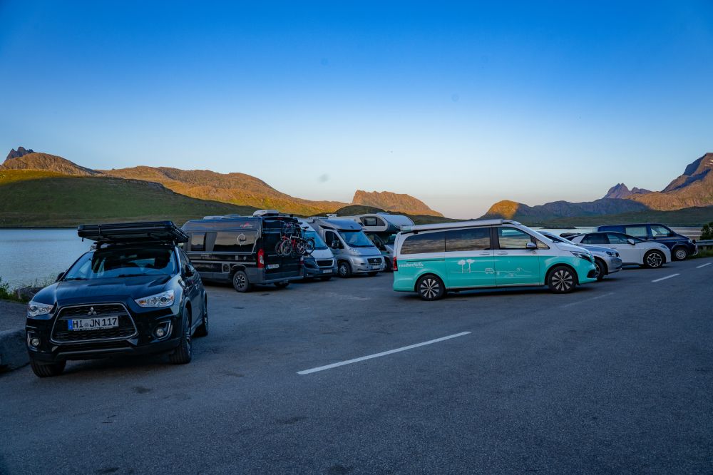
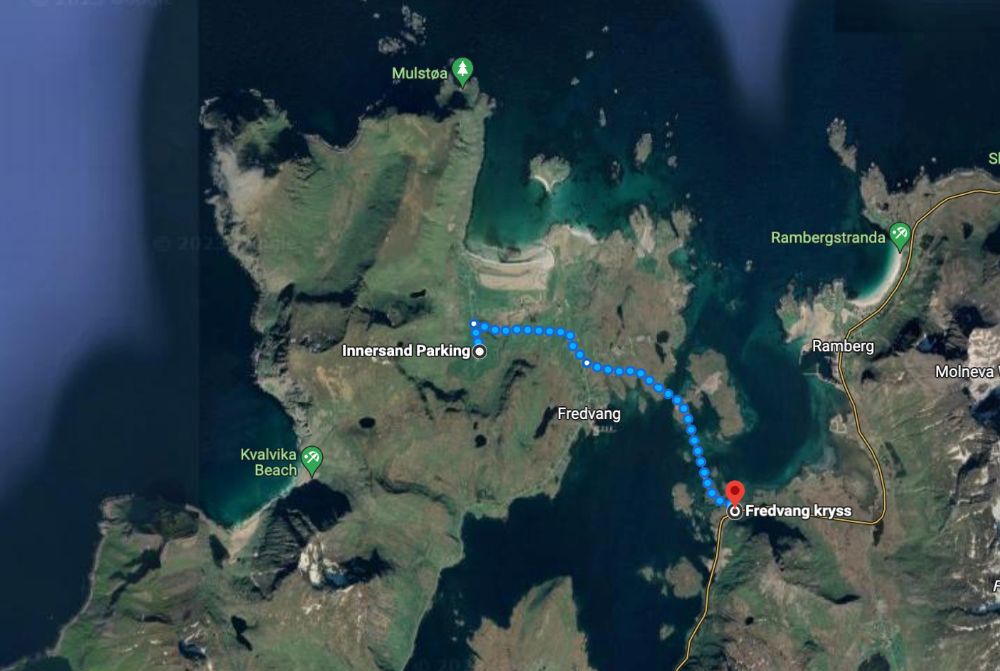
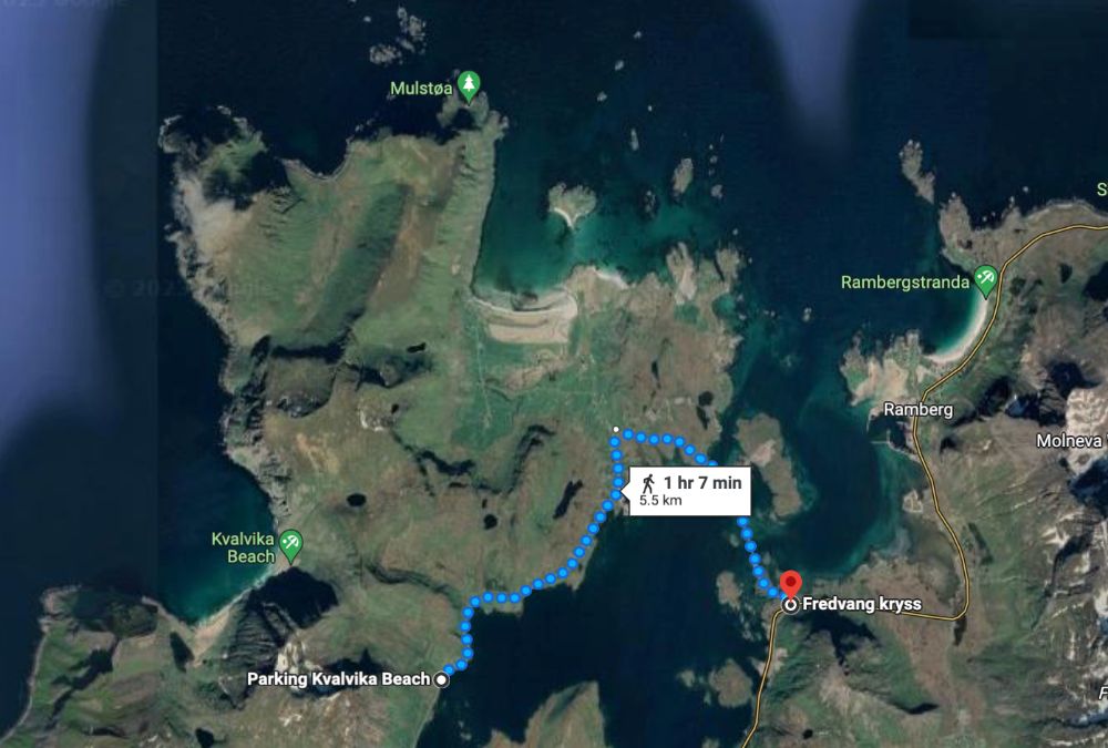
You are allowed to stay overnight at the parking place for Ryten/Kvalvika in Innersand. It is the best option due to its location and access to facilities.
#6
People often park and camp at the small parking place at the end of the road in Ytresand. The place is a “snuplass,” which means that it is meant for the local school bus to be able to turn around there. Therefore, parking and overnight stays there are prohibited.
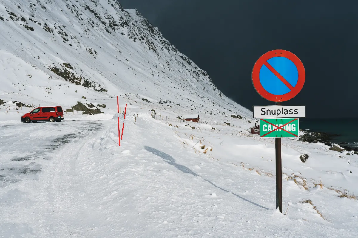
There is a space for maybe six cars behind the “snuplass,” where parking is technically legal, but please do not stay there overnight. It is a parking place for several trailheads in the area, and it is not nice to block it for the whole night and morning for the other people who want to use it.
#7
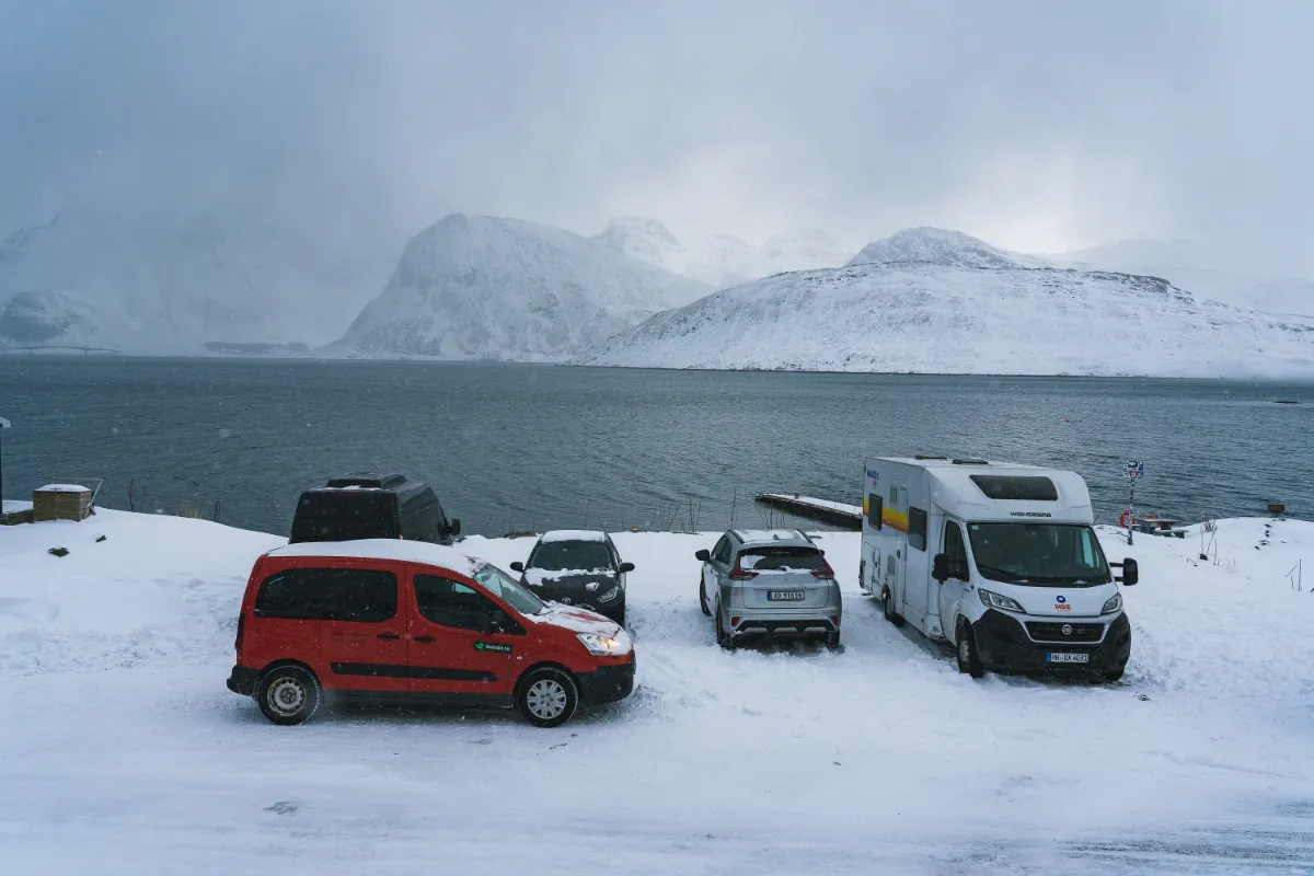
The same goes for the small parking lot at the trailhead for Kvalvika in Torsfjorden. It can accommodate about sixteen cars (depending on their size), and although overnight stays there are not strictly illegal, they are not meant for overnight camping.
#8
There is a campsite in Fredvang with a spectacular view. The next nearest campsite is the Lofoten Beach Camp at Skagsanden Beach, which has new facilities and is a fantastic location for watching the northern lights or midnight sun.
In 2020, the municipalities in Lofoten decided to limit wild camping at certain popular spots. Therefore, camping on top of Reinebringen or at Haukland beach is now prohibited. Please familiarize yourself with this Lofoten map, which shows the areas where camping is not allowed (orange and red spots).
Where to Stay Near Ryten and Kvalvika
Budget: Lydersen Rorbuer, dorm room
Middle: Lydersen Rorbuer, apartments
High-end: Nusfjord Arctic Resort
There is also not a wide selection of accommodations in Fredvang. A few local people rent their houses on Airbnb. Otherwise, the only accommodation option is Lydersen rorbuer.
Lydersen rorbuer offers hostel-style accommodation with female and male dorm rooms, private rooms with shared kitchens and bathrooms, and four private apartments for 2-7 people.
The accommodation has a convenient location and an unbeatable view. However, the standard does not reflect the price, and the place deserves a renovation. (And we say this in the most loving way since we managed the accommodation in 2021 and 2023 and believe that the place has great potential.) So, if you have a car, you will get more for your money elsewhere. If you travel by public transport, Lydersen is your best (and only) option.
You can also book a night at Fredvanghytta on Airbnb. The cabin belongs to Fredvang Bygdelag, a local organization that reinvests the money from renting the cabin into improving the living conditions in Fredvang. So we highly recommend you spend a night there.
All the other accommodation possibilities, like Reine or Nusfjord, involve at least 30 minutes of driving.
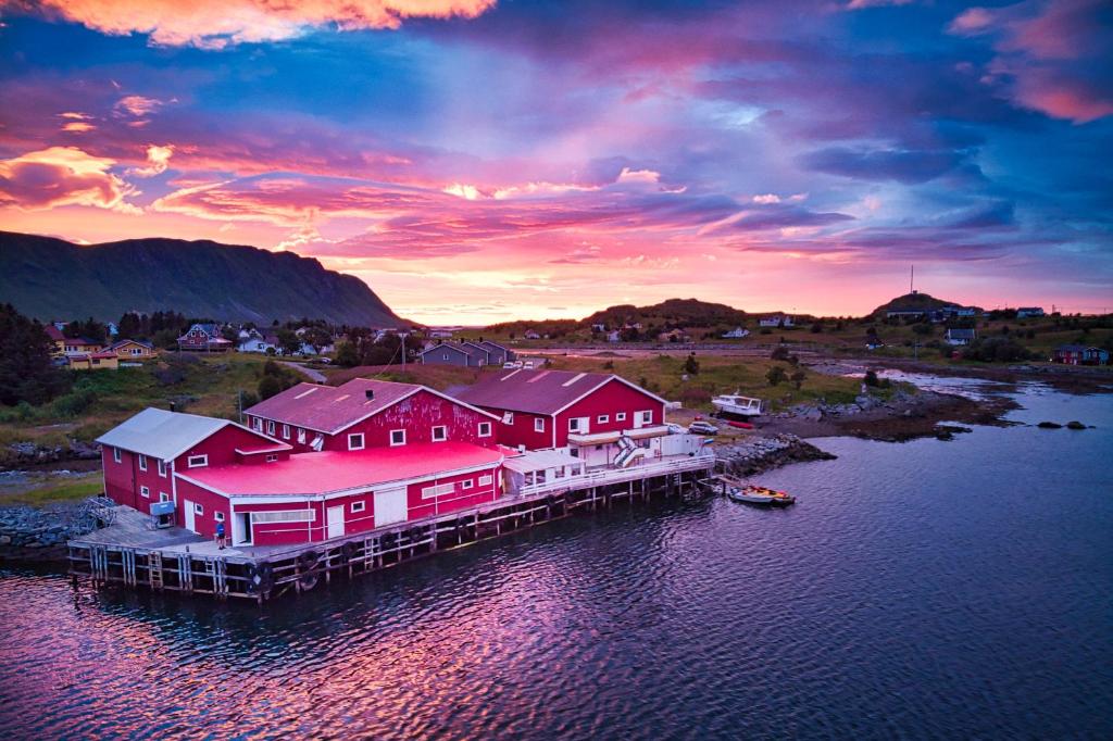
Lydersen rorbuer in Fredvang
HIKING RYTEN AND KVALVIKA: SUMMARY
We hope this article has given you a better idea of what to expect when planning a hike to Ryten and/or Kvalvika Beach. Here is a short summary of the article.
✅ The best parking for Ryten and Ryten+Kvalvika Beach is at the paid parking place in Innersand. It is right at the trailhead, and you can access facilities like toilets, showers, electricity, etc.
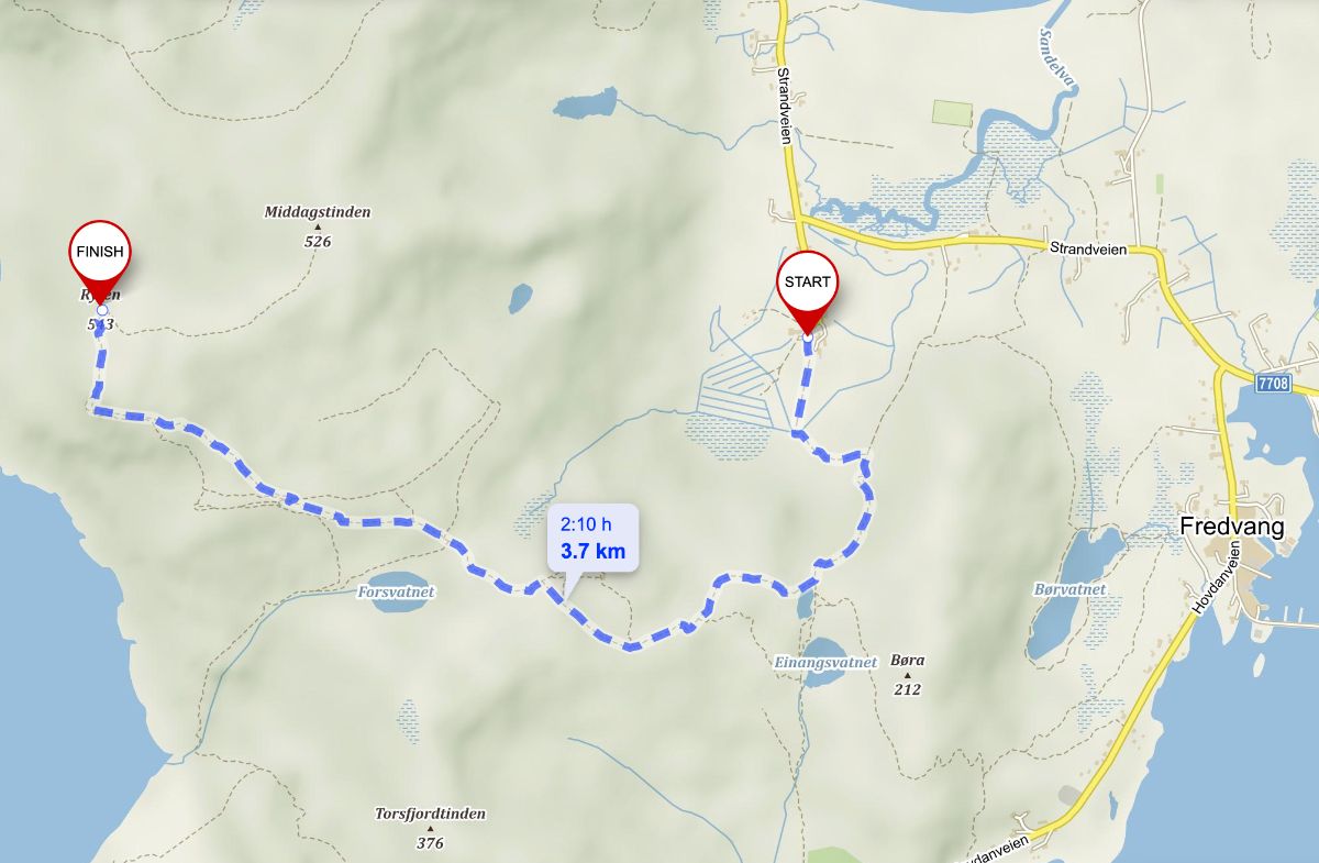
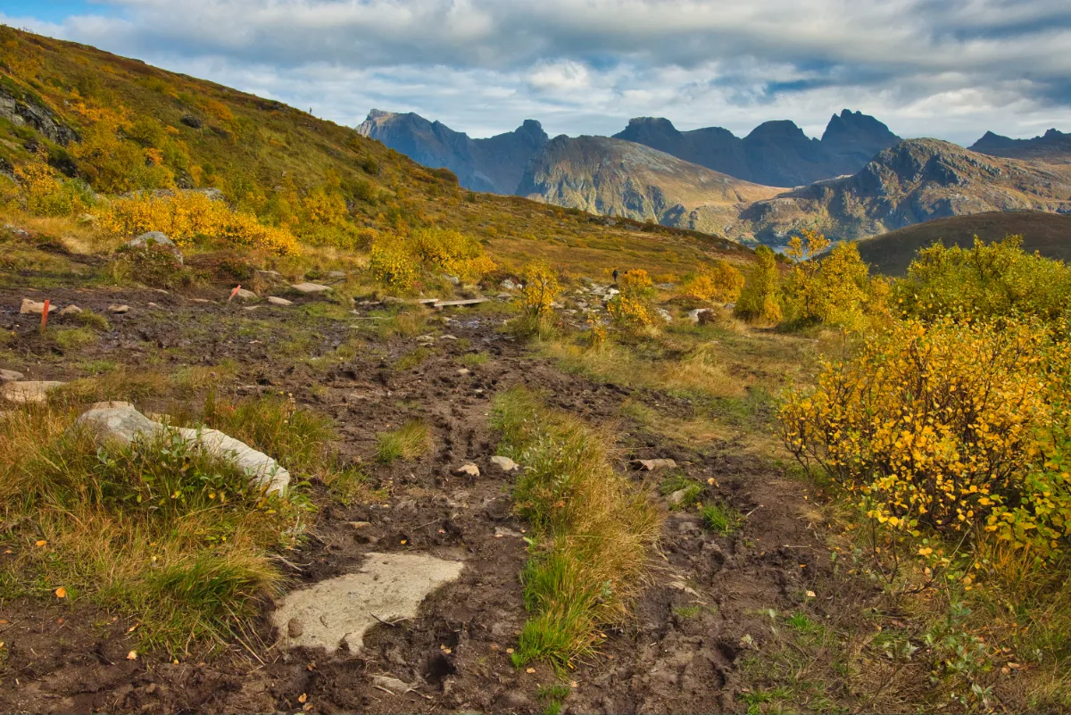
✅ The hike to Ryten and back is 7 km long and takes about 3 hours.
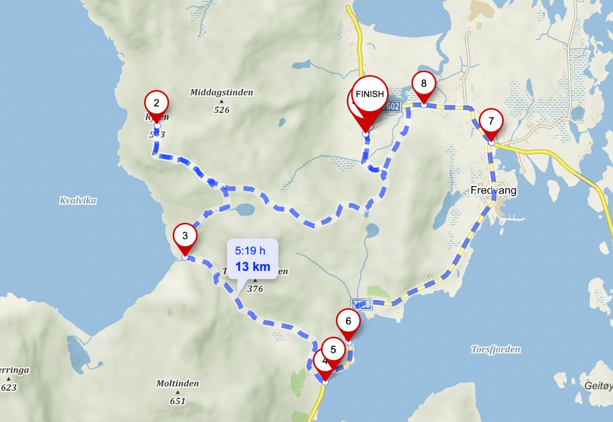
✅ The hike to Ryten and Kvalvika (loop) is 12,5km long and takes 5-7 hours.
✅ You can also hike Kvalvika only. In that case, it is most convenient to park at Torsfjorden. The parking there accommodates only about sixteen cars. Do not park along the road!!!
✅ In winter, Ryten is one of the most accessible and safe mountains in the western Lofoten. If you need to rent snowshoes/crampons, contact us! You can also join us for a guided tour.
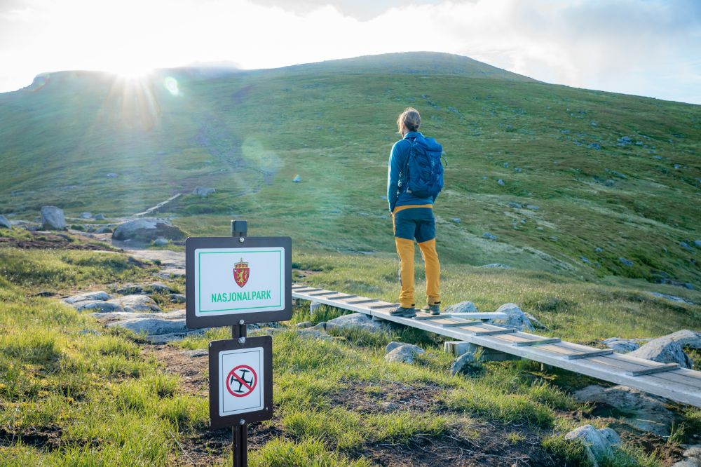
❌ It is illegal to fly a drone at Kvalvika Beach and Ryten.
❌ Camping at Kvalvika Beach or Ryten is possible. Do not drink the water from the streams without boiling it.
💩 If you plan a camping trip to Kvalvika Beach, get a WAG bag from the Lofotodden information center in Reine, or bring at least a shovel and a zip lock bag.
🎥 Check out the Norwegian movie North of the Sun to get in the mood for visiting Kvalvika!

One Response
Thank you for such a helpful guide. We took your advice and parked at Leif’s farm and had a stunning day walking up Ryten before an extremely cold swim from the beach below. We were planning to complete your loop along the road but found there was a clear path making a short cut from Bergland over the grassy col and back down to the car park. A fantastic day out!