Weather forecast for Ryten and Fredvang
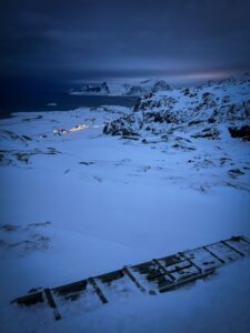
There’s a Scandinavian expression that captures the essence of winter hiking: “There’s no such thing as bad weather, only bad clothing.” However, whoever created this phrase has probably never been to Lofoten. We do have bad weather, or as we call it, “stay at home and do not try to go out the door weather.”
Lofoten is not so extreme when it comes to winter temperatures—we rarely have temperatures colder than minus ten degrees. However, people often cannot imagine how windy it can get here, and they ignore wind strength when checking the weather forecast.
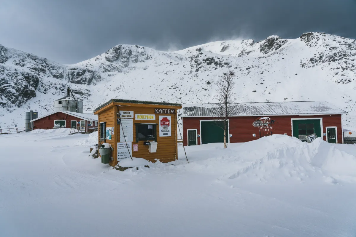
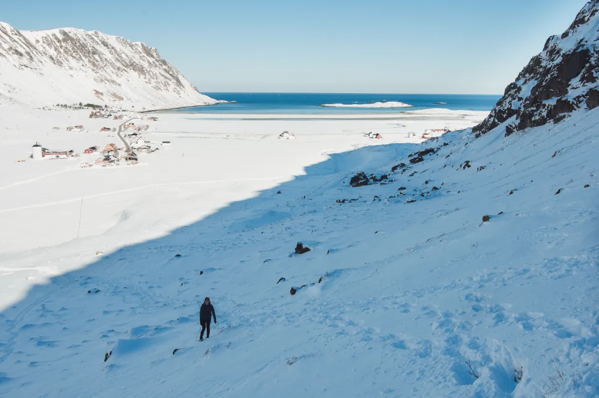
Also, when you are checking the weather forecast, make sure that you are not looking just at Fredvang (the nearest village to the trailhead) but also at Ryten. The temperature and wind strength can differ quite a bit between these two locations.
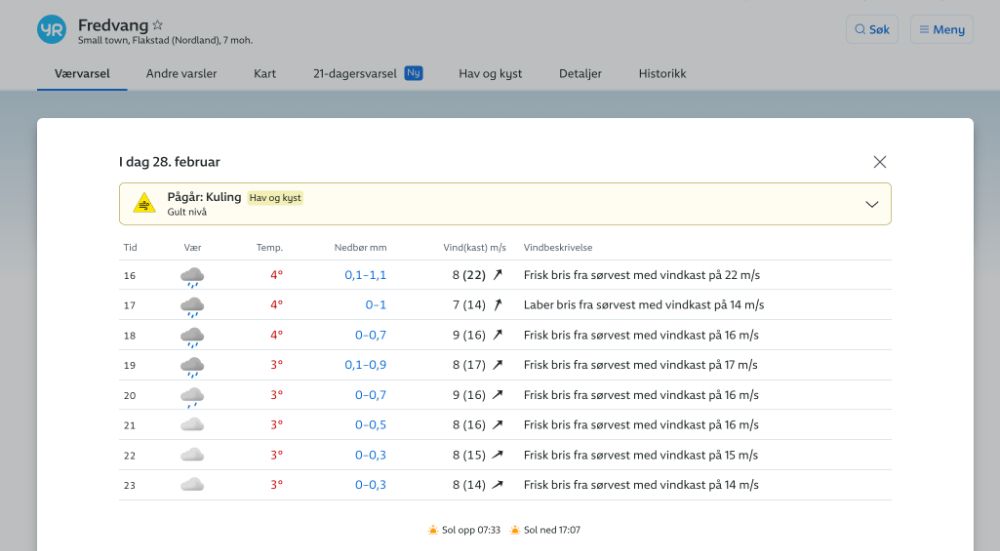
Weather forecast for Fredvang (the village near the trailhead).
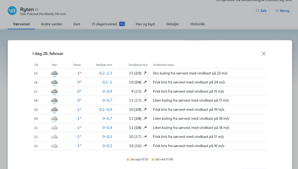
Weather Forecast for Ryten. You can see it is a few degrees colder and more windy up there.
How windy is too windy to hike?
When you check the wind speed forecast on yr.no, you’ll notice two numbers. The one on the left indicates the average wind speed, while the higher number on the right (in brackets) represents the wind gusts.
Wind gusts are sudden, brief increases in wind speed, usually lasting less than 20 seconds. They can be significantly stronger than the average wind speed. These gusts can greatly impact your hiking experience by making it harder to keep your balance, increasing the cold you feel, and potentially creating unsafe conditions.
There isn’t a unanimous agreement on the exact wind speed that makes mountain hiking too risky, but since many people can’t quite picture what different wind speeds feel like, we’ll share the guideline we use.
Generally, we do not go mountain hiking in winter when the average wind speed exceeds 10 m/s (36 km/h or 22 mph) and wind gusts are predicted to be above 15 m/s.
Ryten Winter Packing Guide
Stay warm and dry
Many people believe the main job of winter clothing is to keep them warm. However, that’s only half the story. Good winter gear must keep you both warm and dry.
If you’re wet, your body will lose heat much faster than if you’re cold but dry. Rapid loss of body heat can quickly lead to a dangerous drop in your core body temperature, potentially resulting in hypothermia. Therefore, the most crucial strategy for staying safe in cold conditions is to keep dry, as maintaining your body’s warmth depends significantly on it.
Avoid bringing cotton since it dries slowly and doesn’t insulate well when wet. Choose quick-drying materials, such as wool or polyester, that keep you warm even when damp.
Since hiking involves different levels of physical effort (for example, going uphill is usually more strenuous and causes more sweating than going downhill), it’s essential to wear clothing that you can easily adjust. This means adding layers when you’re cold or removing them when you feel too warm. The goal is to maintain a comfortable temperature and minimize sweating, thus staying dry.
We discuss the layering system in more detail in our article about what to pack for Lofoten in winter.


Lofoten Winter Hiking Packing Essentials
Here’s a comprehensive list to ensure you’re well-prepared for the cold and changing conditions:
Winter Clothing
✅ Base Layer: Moisture-wicking materials like merino wool or synthetic fabrics to keep you dry from sweat.
✅ Insulating Layer: Fleece or down jackets for warmth.
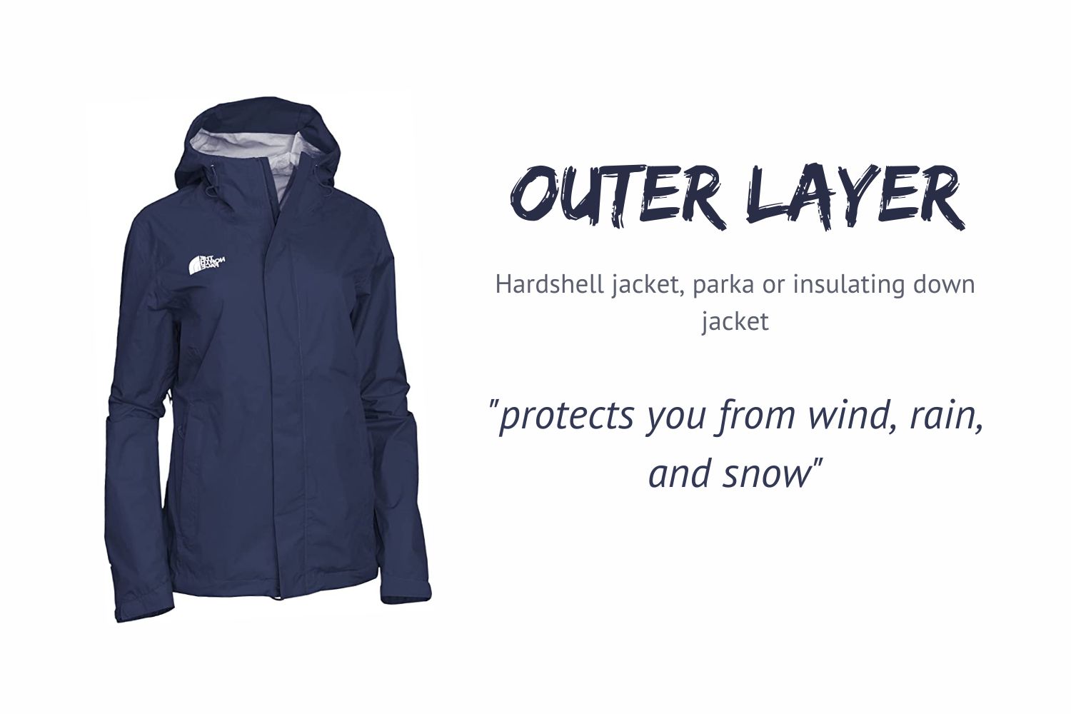
✅ Outer Layer: Waterproof and windproof jacket and pants to protect against snow, rain, and wind.
✅ Hat, Gloves & Neck Warmer/Buff
✅ Warm Socks
✅ Gaiters
Winter Footwear
✅ Insulated, Waterproof Hiking Boots
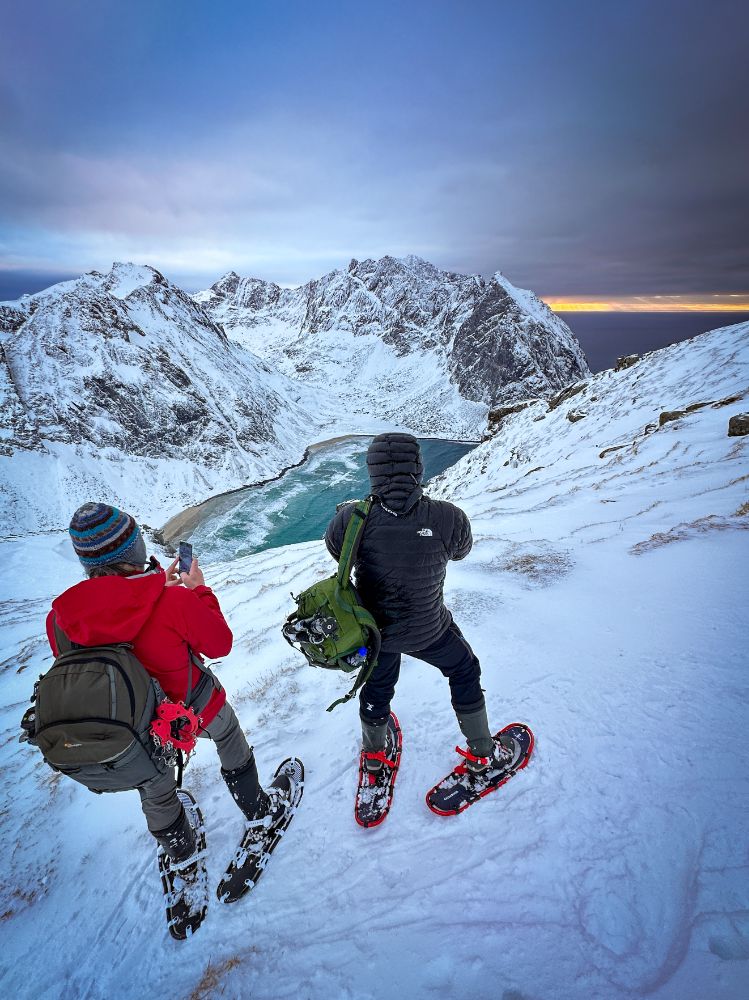
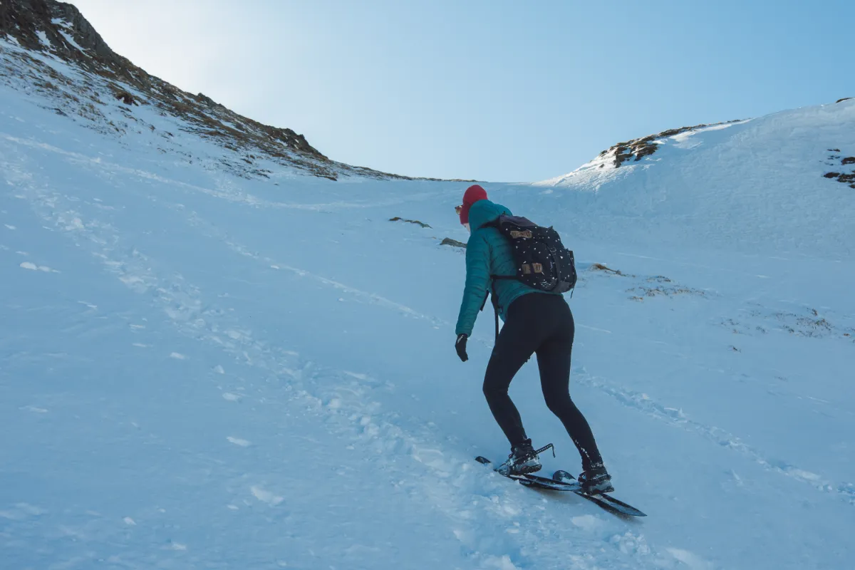
✅ Microspikes or Crampons
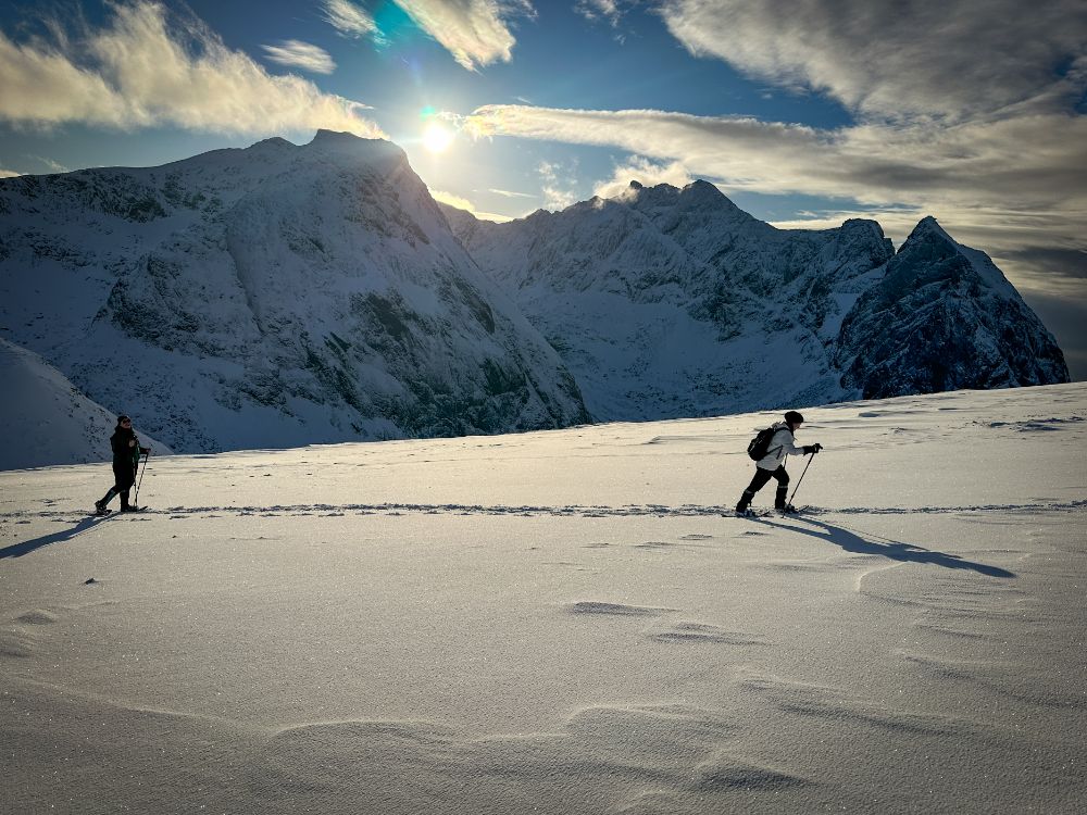
✅ Snowshoes (contact us for snowshoe rental; we arrange pick up in Fredvang, close to the trailhead to Ryten)
Additional Equipment
✅ Backpack
✅ Hiking Poles
✅ Headlamp
✅ Sunglasses: Even when cloudy. They offer protection against rain and snow in your eyes when windy.
✅ Sunscreen
✅ Insulated Water Bottle or Thermos
✅ First Aid Kit
✅ Navigation Tools: Map, compass, GPS device, and possibly a trail app on your phone. Ensure your phone is fully charged.
✅ Power Bank: To keep your electronic devices charged.
✅ Snacks: High-energy, easily consumable foods that won’t freeze.